Stoy

Gallery (1)
Map
Map
Facts and practical information
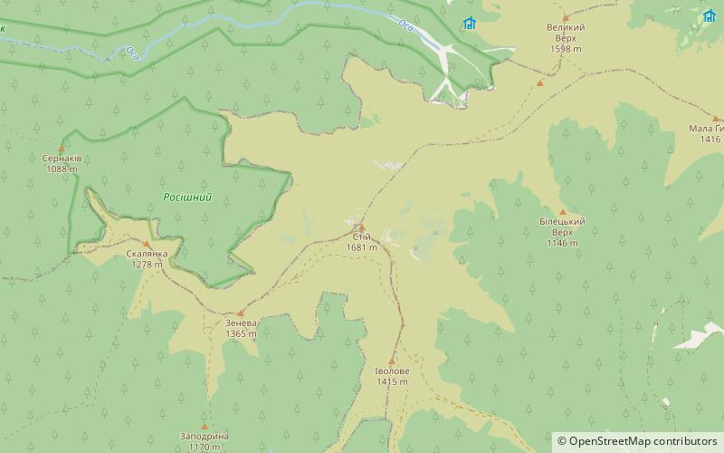
Stoj, also: Stij, Stohy - the highest peak of Połonina Borżawska, measuring 1677 m a.s.l. It is located in the southern part of the massif, within the borders of the cornering region.
Location
Transcarpathia
ContactAdd
Social media
Add
Day trips


