Obolonskyi District, Kyiv
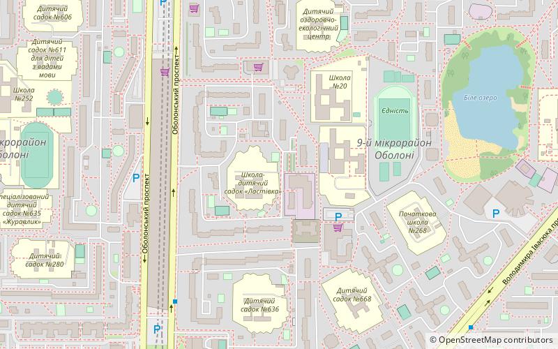
Map
Facts and practical information
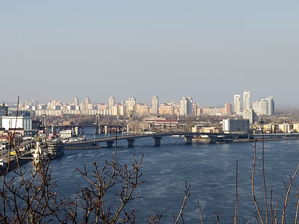
Obolonskyi District is an urban district of the Ukrainian capital Kyiv. Obolonskyi District encompasses territories far beyond of its historical neighborhood sharing the same name. It was formed on 3 March 1975 and initially called as Minskyi District. In 2001 it was renamed to its historical name. Its current population is 290,000 inhabitants. ()
Day trips
Obolonskyi District – popular in the area (distance from the attraction)
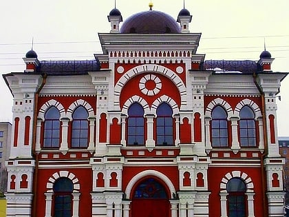
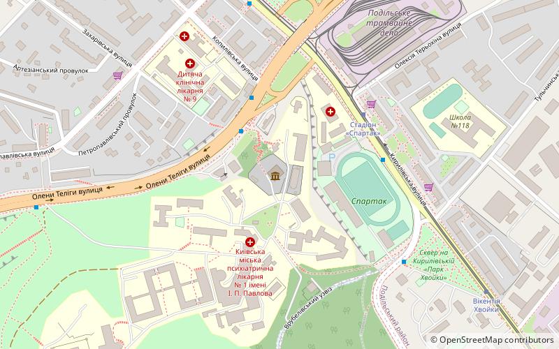
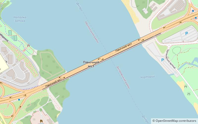
Nearby attractions include: Ukrainian National Chernobyl Museum, Moskovskyi Bridge, Great Choral Synagogue, St. Cyril's Monastery.
Frequently Asked Questions (FAQ)
How to get to Obolonskyi District by public transport?
The nearest stations to Obolonskyi District:
Bus
Trolleybus
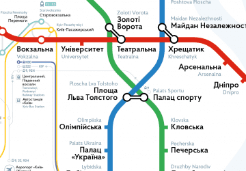
Metro
Tram
Bus
- Obolonskyi prospekt • Lines: А88 (9 min walk)
- Vulytsia Pryrichna • Lines: А88 (9 min walk)
Trolleybus
- Obolonskyi prospekt • Lines: 24, 34, 47 (9 min walk)
- Vulytsia Pryrichna • Lines: 24, 34 (9 min walk)
Metro
- Minska • Lines: M2 (10 min walk)
- Heroiv Dnipra • Lines: M2 (11 min walk)
Tram
- Stantsiia metro Heroiv Dnipra • Lines: 16 (13 min walk)
- Vulytsia Heroiv Dnipra • Lines: 16 (14 min walk)
 Metro
Metro

