Tsentralny Bridge, Dnipro


Facts and practical information
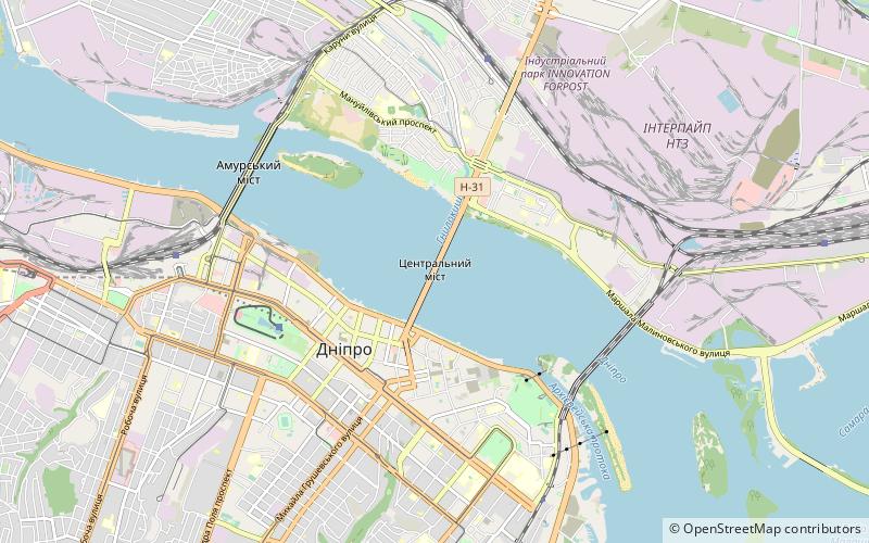
The Tsentralny Bridge, a prominent feature of the cityscape of Dnipro, Ukraine, is an engineering marvel that spans the mighty Dnieper River. This vital transportation artery, linking the city's right and left banks, was constructed in 1966 and stands as a testament to Soviet-era infrastructure development.
With its length of 1,543 meters, the Tsentralny Bridge is not only functional but also an iconic landmark in the industrial city of Dnipro. The bridge was designed to facilitate the heavy traffic flow and has since been an essential part of the daily commute for residents and a significant route for the transportation of goods within the region.
The bridge's robust, yet simple design is characteristic of the mid-20th-century architectural style, focused on utility and durability. Its strategic importance for the city's economy and connectivity cannot be overstated, as it supports the passage of vehicles, pedestrians, and even trams, making it a multi-modal transit point.
For visitors, the Tsentralny Bridge offers a unique vantage point to take in the views of the Dnieper River, one of Ukraine's defining natural landmarks. The expansive waters below and the city's skyline provide a picturesque backdrop, particularly at sunset when the hues of the sky reflect off the river's surface.
Dnipro
Tsentralny Bridge – popular in the area (distance from the attraction)
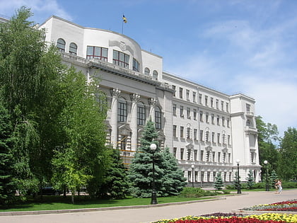
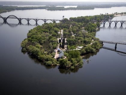
Nearby attractions include: Dnipro-Arena, Dnipropetrovsk Oblast Council, Transfiguration Cathedral, MOST-city.
Frequently Asked Questions (FAQ)
Which popular attractions are close to Tsentralny Bridge?
How to get to Tsentralny Bridge by public transport?
Trolleybus
- Пам’ятник Маргелову • Lines: 2 (14 min walk)
- вулиця Воскресенська • Lines: 2 (15 min walk)
Bus
- BusTour (15 min walk)
- Поштамт • Lines: 113 (24 min walk)
Tram
- Центральна вулиця • Lines: 1 (23 min walk)
- Машинобудівний технікум (23 min walk)
Train
- Паркова (31 min walk)


