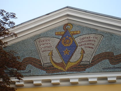
Rybalskyi Peninsula, Kyiv
Map
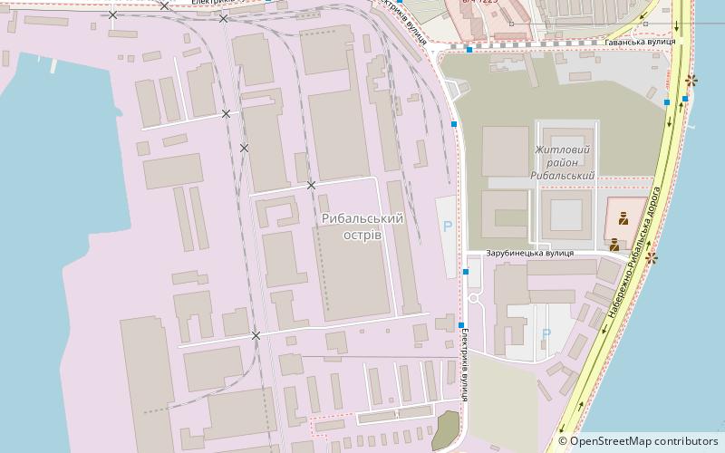
Map

Facts and practical information
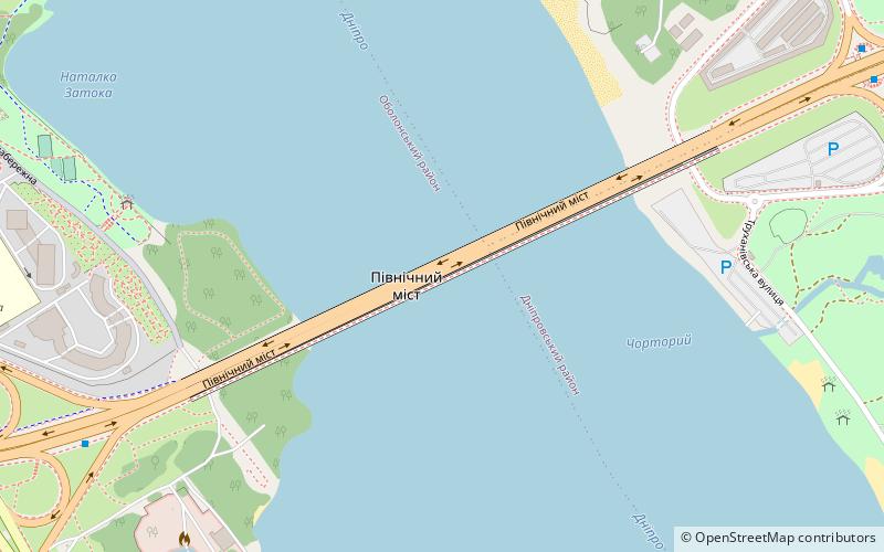
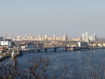
Rybalskyi Island is a misnomer for an actual peninsula on the Dnieper River, located in the right-bank Podil neighborhood and Kyiv Harbour of the city of Kyiv. Although named as an island it is in fact a peninsula and a former spit serving as a left-bank of a former Pochaina River that with time transformed into several oxbow lakes located in Obolon. The peninsula is now a predominantly industrial area. ()
Address
Поділ (Острів Рибальський)Kyiv
ContactAdd
Social media
Add
Day trips
Rybalskyi Peninsula – popular in the area (distance from the attraction)
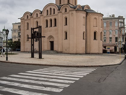
Nearby attractions include: One Street Museum, Ukrainian National Chernobyl Museum, Pyrohoshcha Church, Moskovskyi Bridge.
Frequently Asked Questions (FAQ)
Which popular attractions are close to Rybalskyi Peninsula?
Nearby attractions include Podilskyi Bridge, Kyiv (14 min walk), Harbour Bridge, Kyiv (18 min walk), Bridges in Kyiv, Kyiv (21 min walk), Moskovskyi Bridge, Kyiv (22 min walk).
How to get to Rybalskyi Peninsula by public transport?
The nearest stations to Rybalskyi Peninsula:
Bus
Tram
Metro
Bus
- Укрпромінвест • Lines: А53 (3 min walk)
- Житлові будинки • Lines: А53 (4 min walk)
Tram
- Verkhniy Val • Lines: 14, 18 (29 min walk)
- Kontraktova Square • Lines: 11, 12, 14, 18, 19 (30 min walk)
Metro
- Kontraktova Square • Lines: M2 (30 min walk)
- Tarasa Shevchenka • Lines: M2 (32 min walk)

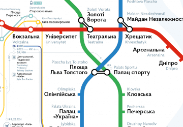 Metro
Metro