Prospect Peremohy, Kyiv
Map
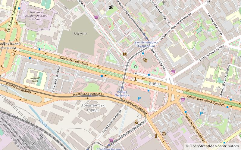
Map

Facts and practical information
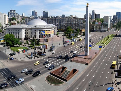
Prospect Peremohy, commonly known as Victory Avenue, is the second longest public roadway in Kyiv, Ukraine. The roadway was created in the second half of the 20th century as part of the urbanized area of the Brest-Lytovske highway and was known as Brest-Lytovskyi prospect. At the beginning of the Soviet perestroika period in 1985, it was renamed to its current name. ()
Address
Шевченка (Кожум'яки)Kyiv
ContactAdd
Social media
Add
Day trips
Prospect Peremohy – popular in the area (distance from the attraction)
Nearby attractions include: St Volodymyr's Cathedral, A.V. Fomin Botanical Garden, Golden Gate, Karaite Kenesa.
Frequently Asked Questions (FAQ)
Which popular attractions are close to Prospect Peremohy?
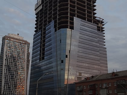
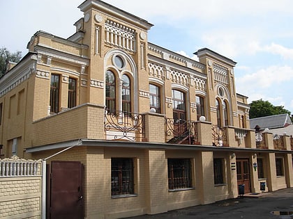
Nearby attractions include Victory Square, Kyiv (2 min walk), Galitska Synagogue, Kyiv (4 min walk), The Historical Locomotives and Cars Exhibition, Kyiv (14 min walk), Sky Towers, Kyiv (15 min walk).
How to get to Prospect Peremohy by public transport?
The nearest stations to Prospect Peremohy:
Tram
Trolleybus
Bus
Metro
Train
Tram
- площа Перемоги • Lines: 15, 18 (2 min walk)
- Площа Перемоги (3 min walk)
Trolleybus
- Проспект Перемоги • Lines: 8 (2 min walk)
- Пл. Перемоги • Lines: 17, 5, 7, 8, 93Н, 94Н (3 min walk)
Bus
- Kyiv, bus terminal • Lines: N3200, N3201, N3202, N3203, N3300, Речиця — Херсон, Херсон — Речиця (9 min walk)
- Нацiональна дитяча клінічна лікарня ОХМАТДИТ • Lines: 119 (11 min walk)
Metro
- Vokzalna • Lines: M1 (11 min walk)
- Universytet • Lines: M1 (18 min walk)
Train
- Північна (11 min walk)
- Kyiv Passenger Railway Station (14 min walk)

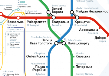 Metro
Metro


