Jumeirah Archaeological Site, Dubai
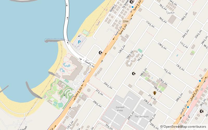
Map
Facts and practical information
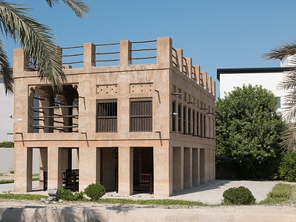
The Jumeirah Archaeological Site is a site which dates back to the Abbasid period in the 9th century AD, in the district of Jumeirah in the city of Dubai, the United Arab Emirates. It was first excavated in 1969 with different ancient items including architectural and decorative findings, ranging from a mosque, caravanserai, and residential houses to glazed pottery jars and plateware, bronze coins, glass and stone artefacts. It is owned and managed by Dubai Culture & Arts Authority. ()
Address
جميرا (جميرا الثانية)Dubai
ContactAdd
Social media
Add
Day trips
Jumeirah Archaeological Site – popular in the area (distance from the attraction)
Nearby attractions include: Mercato Shopping Mall, The Galleria Mall, Safa Park, Al Wasl.
Frequently Asked Questions (FAQ)
How to get to Jumeirah Archaeological Site by public transport?
The nearest stations to Jumeirah Archaeological Site:
Bus
Metro
Bus
- Big bus stop 2 (30 min walk)
Metro
- Business Bay • Lines: Red (36 min walk)
