Al Wasl, Dubai
Map
Facts and practical information
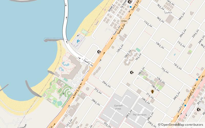
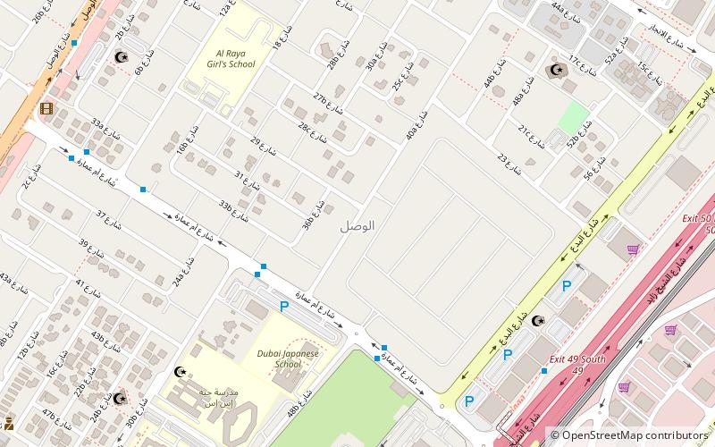
Al Wasl is a locality in Dubai, United Arab Emirates. The locality is located in western Dubai, between the first and second interchanges of route E 11. Al Wasl is a residential community and is bordered to the north by Jumeirah, to the south by Business Bay, to west by Al Safa and to the east by Al Satwa. ()
Address
الوصل (alwsl)Dubai
ContactAdd
Social media
Add
Day trips
Al Wasl – popular in the area (distance from the attraction)
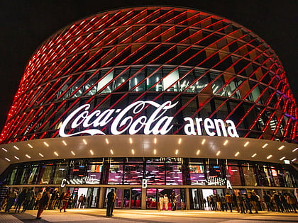
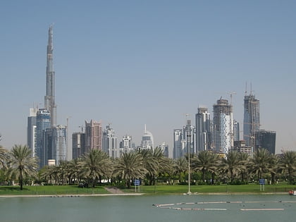
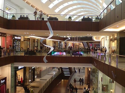
Nearby attractions include: Burj Khalifa, The Galleria Mall, Safa Park, Coca-Cola Arena.
Frequently Asked Questions (FAQ)
Which popular attractions are close to Al Wasl?
Nearby attractions include Al Tayer Tower, Dubai (13 min walk), Tiara United Towers, Dubai (16 min walk), Millenium Tower, Dubai (17 min walk), Vision Tower, Dubai (18 min walk).
How to get to Al Wasl by public transport?
The nearest stations to Al Wasl:
Metro
Bus
Metro
- Business Bay • Lines: Red (12 min walk)
- Burj Khalifa / Dubai Mall • Lines: Red (25 min walk)
Bus
- Big bus stop 2 (21 min walk)


