Al Karama, Dubai
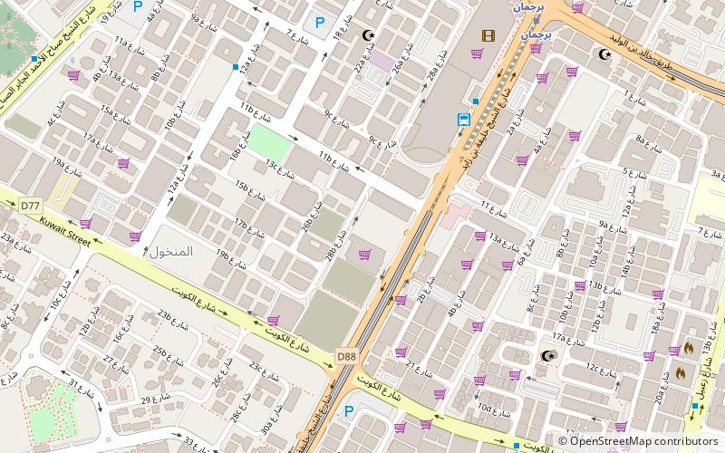
Map
Facts and practical information
Al-Karāmah was a proposed planned city to be built on the border of the emirates of Abu Dhabi and Dubai. It was intended to be the permanent capital of the United Arab Emirates as stated in the Constitution of 1971. The proposed city was never built, and Abu Dhabi became the official capital of the UAE in 1996. ()
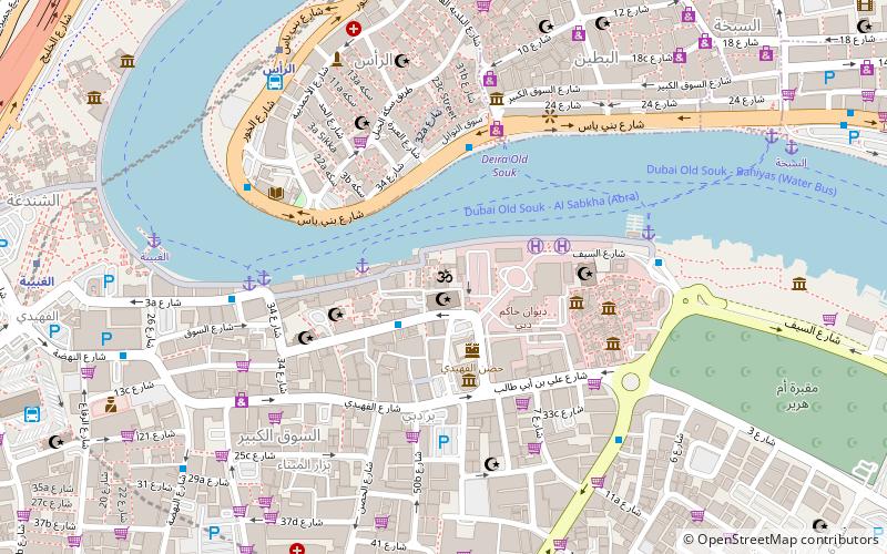
Coordinates: 25°15'0"N, 55°17'60"E
Address
بر دبي (المنخول)Dubai
ContactAdd
Social media
Add
Day trips
Al Karama – popular in the area (distance from the attraction)
Nearby attractions include: Dubai Museum, Emirates Golf Club, Dubai Frame, Dubai Spice Souk.
Frequently Asked Questions (FAQ)
Which popular attractions are close to Al Karama?
Nearby attractions include Al Mankhool, Dubai (8 min walk), Al Karama, Dubai (12 min walk), Al Hamriya, Dubai (19 min walk), Al Rifa, Dubai (21 min walk).
How to get to Al Karama by public transport?
The nearest stations to Al Karama:
Bus
Metro
Bus
- Big bus (6 min walk)
- Rais Center • Lines: 15, C1 (13 min walk)
Metro
- Adcb • Lines: Red (10 min walk)
- BurJuman • Lines: Green, Red (11 min walk)

