Umm Al Sheif, Dubai

Map
Facts and practical information
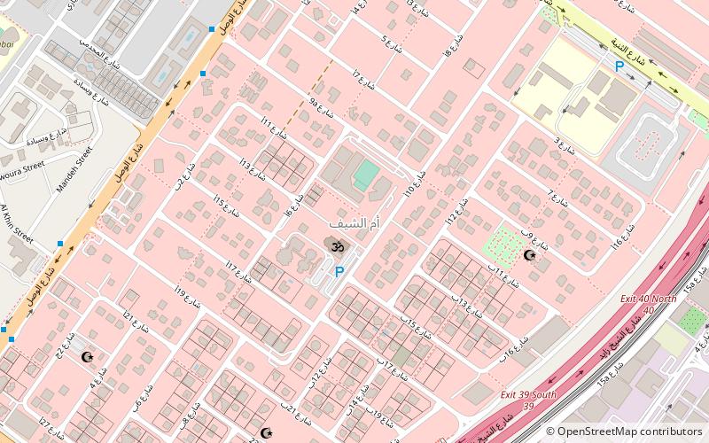
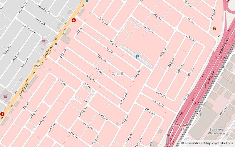
Umm Al Sheif is a locality in Dubai, United Arab Emirates. Umm Al Sheif is a small, residential locality in western Dubai. It is bordered to the north by Umm Suqeim, the northeast by Al Manara, the south by Al Barsha and Al Quoz and the west by Al Sufouh. It is bounded to the north by route D 92 and to the south by route E 11. A local road separates Umm Al Sheif from Al Manara. ()
Coordinates: 25°7'55"N, 55°12'17"E
Address
أم الشيف (am alshyf)Dubai
ContactAdd
Social media
Add
Day trips
Umm Al Sheif – popular in the area (distance from the attraction)
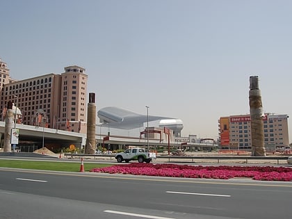
Nearby attractions include: Mall of the Emirates, Wild Wadi Waterpark, Ski Dubai, Al Manara.
Frequently Asked Questions (FAQ)
How to get to Umm Al Sheif by public transport?
The nearest stations to Umm Al Sheif:
Metro
Bus
Metro
- Umm Al Sheif • Lines: Red (11 min walk)
- Mall of the Emirates • Lines: Red (21 min walk)
Bus
- Big bus 14 (28 min walk)


