Umm Hurair, Dubai
Map
Facts and practical information
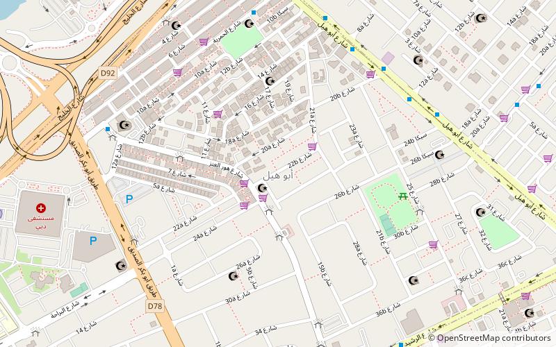
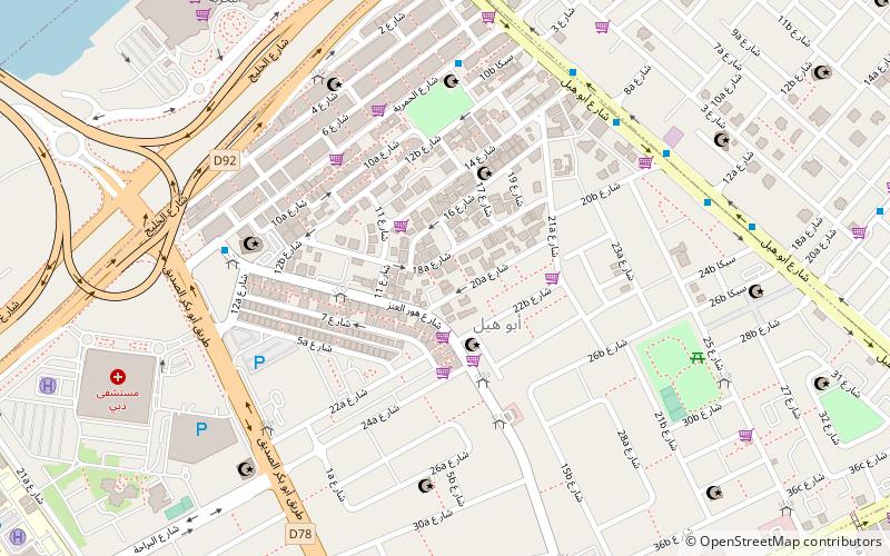
Umm Hurair is a locality in Dubai, United Arab Emirates. Umm Hurair has a small residential community as well as a shopping and economic district with shopping malls, hotels, banks and restaurants. ()
Coordinates: 25°17'12"N, 55°19'40"E
Address
ديرة (أبو هيل)Dubai
ContactAdd
Social media
Add
Day trips
Umm Hurair – popular in the area (distance from the attraction)
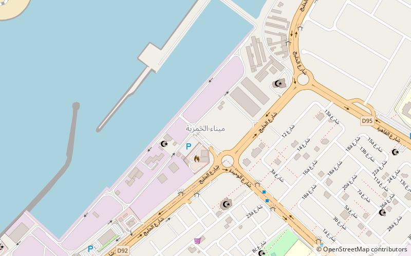
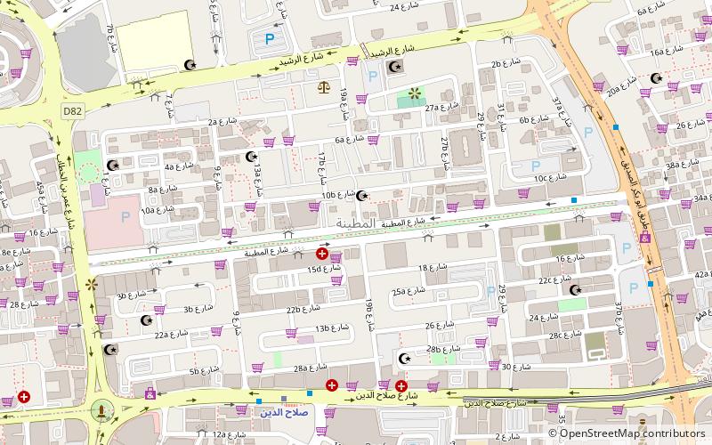
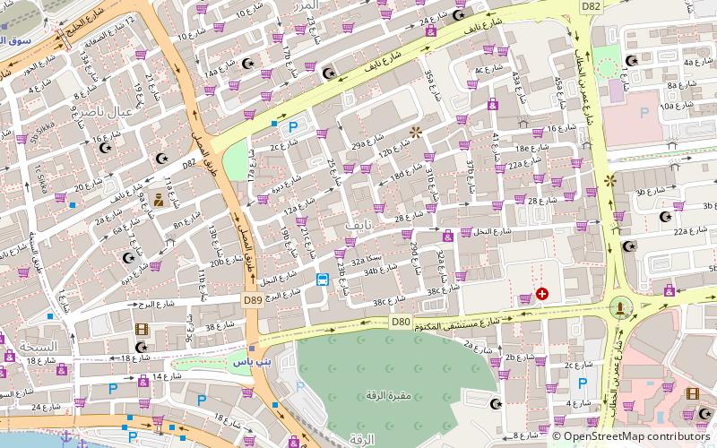
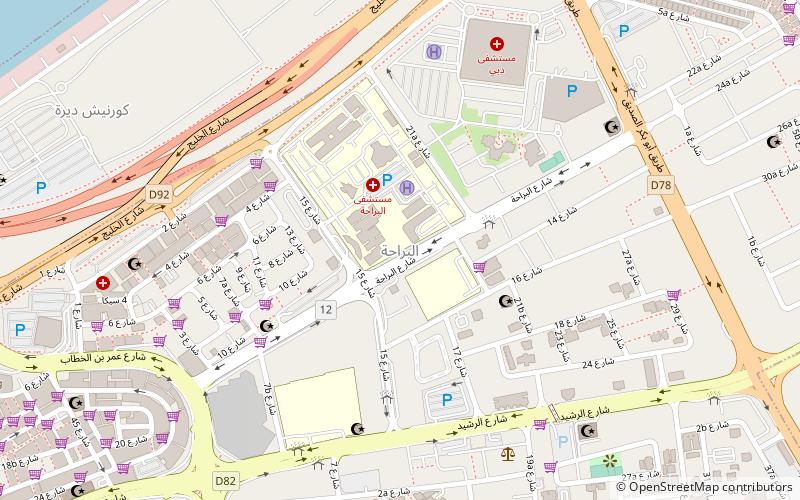
Nearby attractions include: Al Hamriya Port, Al Muteena, Al Murar, Naif.
Frequently Asked Questions (FAQ)
Which popular attractions are close to Umm Hurair?
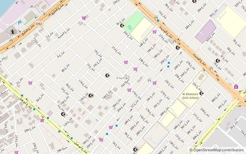
Nearby attractions include Abu Hail, Dubai (3 min walk), Al Baraha, Dubai (17 min walk), Al Waheda, Dubai (18 min walk).
How to get to Umm Hurair by public transport?
The nearest stations to Umm Hurair:
Metro
Metro
- Abu Baker Al Siddique • Lines: Green (30 min walk)
- Salah Al Din • Lines: Green (32 min walk)
