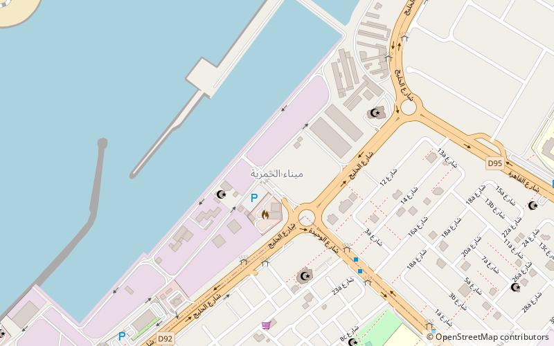
Al Waheda, Dubai
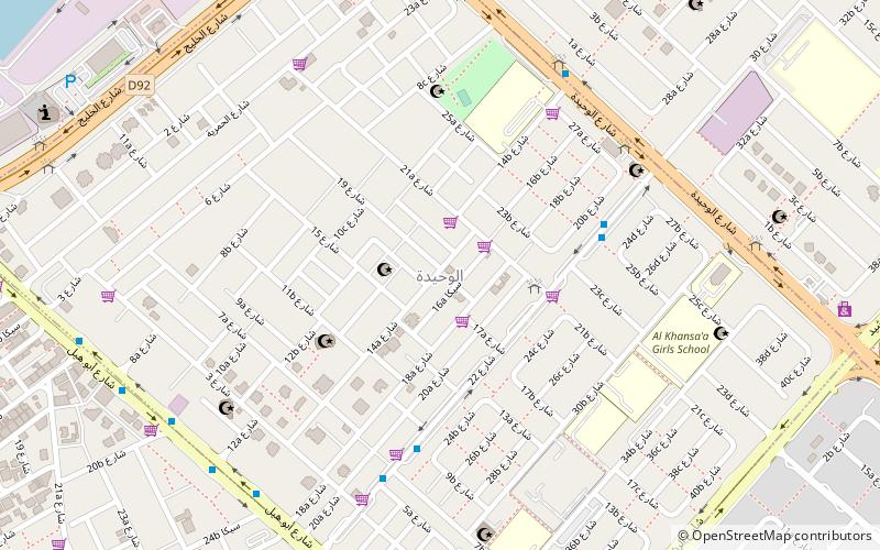
Map
Facts and practical information
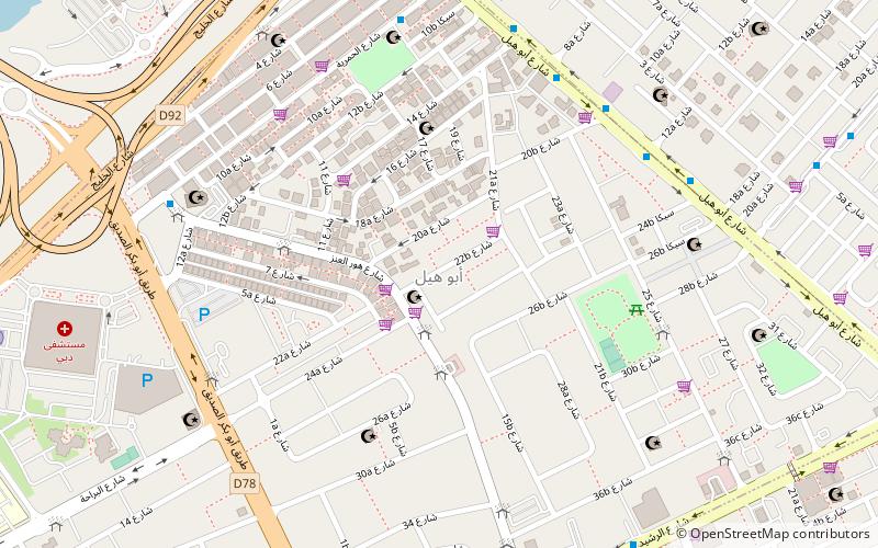
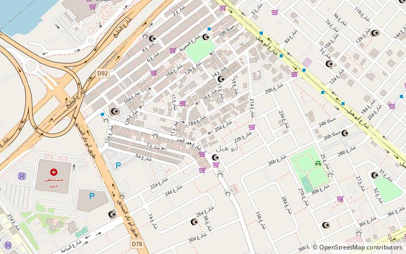
Al Waheda is a locality in Dubai, United Arab Emirates. Located in eastern Dubai in Deira, Al Waheda is bordered to the north by Al Hamriya Port, to the west by Abu Hail, to the east by Al Mamzar, and to the south by Hor Al Anz. The routes D 92 and D 89 form the northern and southern peripheries of Al Waheda. ()
Address
ديرة (القاعدة الواحد)Dubai
ContactAdd
Social media
Add
Getting there by public transportation
Public transportation stops near this location
- Metro
- Bus
 Metro
Metro
- Calculate routeAbu Hail Metro Bus Station A 32 min walk
- Calculate routeAbu Hail 32 min walk
- Calculate routeAl Qiyadah 35 min walk
Day trips


Frequently Asked Questions (FAQ)
Which popular attractions are close to Al Waheda?
Nearby attractions include Al Hamriya Port, Dubai (15 min walk), Abu Hail, Dubai (17 min walk), Umm Hurair, Dubai (18 min walk), Hor Al Anz, Dubai (22 min walk).
How to get to Al Waheda by public transport?
The nearest stations to Al Waheda:
Bus
Metro
Bus
- Abu Hail Metro Bus Station A (32 min walk)
Metro
- Abu Hail • Lines: Green (32 min walk)
- Al Qiyadah • Lines: Green (35 min walk)