Al Ras, Dubai
Map

Gallery

Facts and practical information
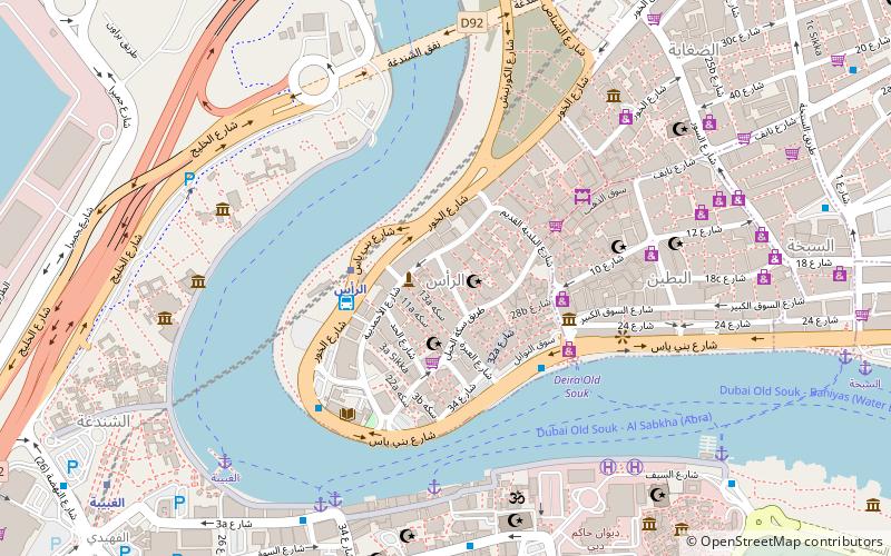
Al Ras is a locality in Dubai, the United Arab Emirates. It is the westernmost locality in the area of Deira and borders the Dubai Creek to the west and south, and Al Dhagaya and Al Buteen to the east. Al Ras, literally meaning The Cape, is one of the oldest communities in Deira. It is bounded on the north, south and west by route D 85 and to the east by Old Baladiya Street. ()
Address
ديرة (الراس)Dubai
ContactAdd
Social media
Add
Day trips
Al Ras – popular in the area (distance from the attraction)
Nearby attractions include: Dubai Museum, Dubai Spice Souk, Queen Elizabeth 2, Saeed Al Maktoum House.
Frequently Asked Questions (FAQ)
Which popular attractions are close to Al Ras?
Nearby attractions include Al Ahmadiya School, Dubai (1 min walk), Dubai Spice Souk, Dubai (4 min walk), Al Ras Public Library, Dubai (6 min walk), Al Buteen, Dubai (7 min walk).
How to get to Al Ras by public transport?
The nearest stations to Al Ras:
Metro
Bus
Metro
- Al Ras • Lines: Green (3 min walk)
- Al Ghubaiba • Lines: Green (13 min walk)
Bus
- IA Ras station (4 min walk)
- Big bus 6 (9 min walk)


