Al Safa, Dubai
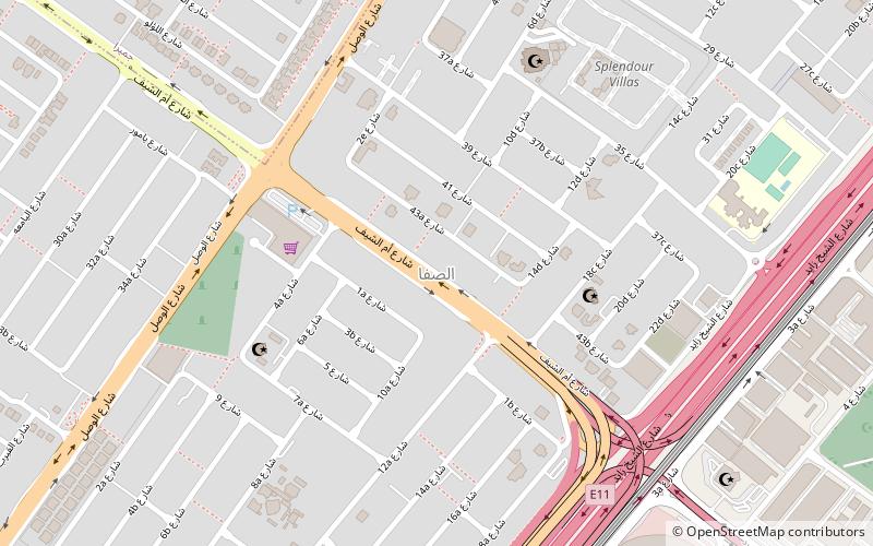
Map
Facts and practical information
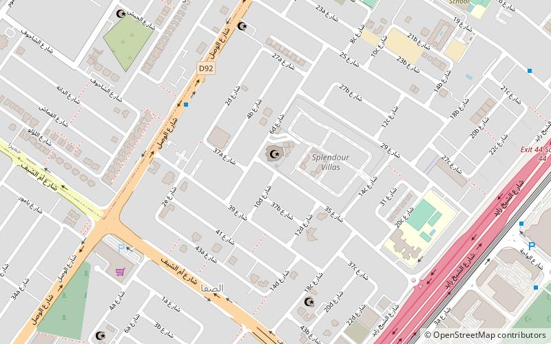
Al Safa is a locality in Dubai, United Arab Emirates. Al Safa is located in western Dubai and is bordered to the north by Jumeirah, to the south by Al Quoz, to the east by Al Wasl, and to the west by Al Manara. Al Safa is bounded to the northwest and southwest by routes D 92 and E 11 respectively. ()
Address
الصفا (الصفا الأولى)Dubai
ContactAdd
Social media
Add
Day trips
Al Safa – popular in the area (distance from the attraction)
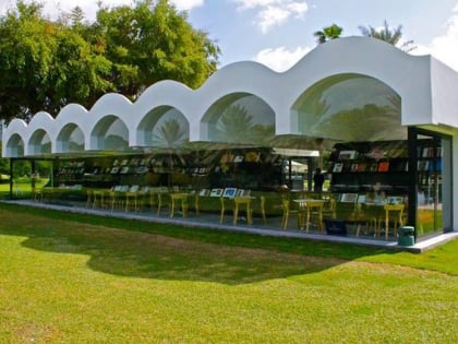
Nearby attractions include: Safa Park, Dubai/Jumeirah, Al Farooq Omar Bin Al Khattab Mosque, The Archive Dubai.
Frequently Asked Questions (FAQ)
Which popular attractions are close to Al Safa?
Nearby attractions include Al Farooq Omar Bin Al Khattab Mosque, Dubai (7 min walk), Dubai/Jumeirah, Dubai (19 min walk).
How to get to Al Safa by public transport?
The nearest stations to Al Safa:
Metro
Bus
Metro
- Al Safa • Lines: Red (22 min walk)
Bus
- ittihad luxury coach bus station (23 min walk)

