Salam Street, Abu Dhabi
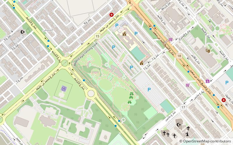
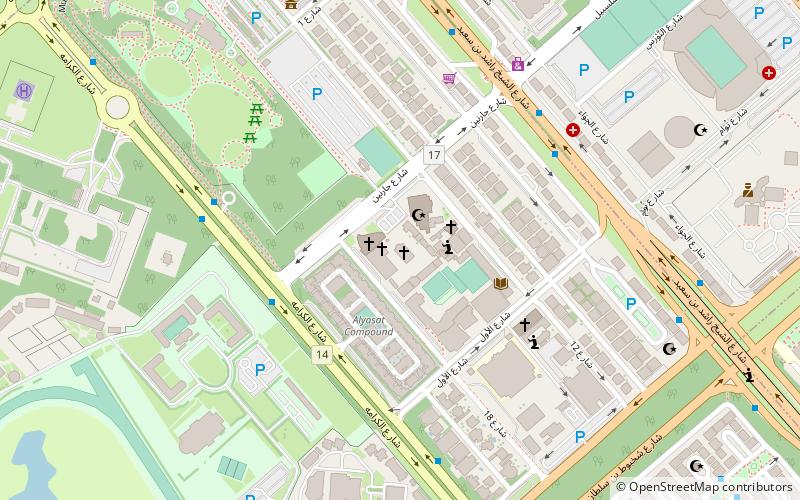
Map
Map

Facts and practical information
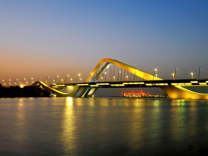
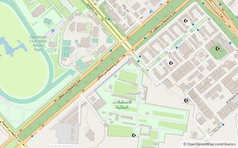
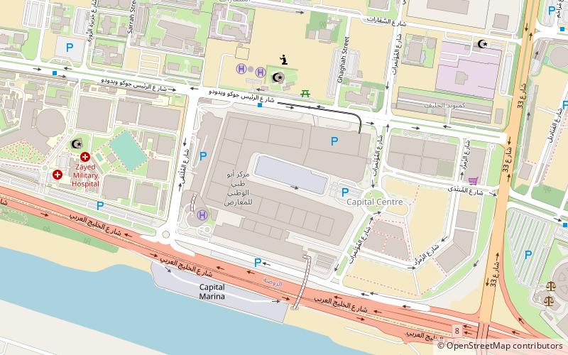
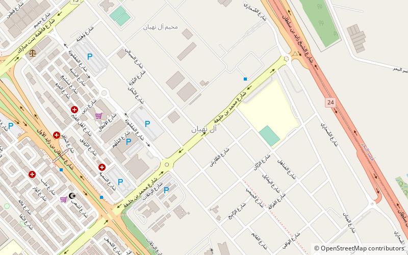
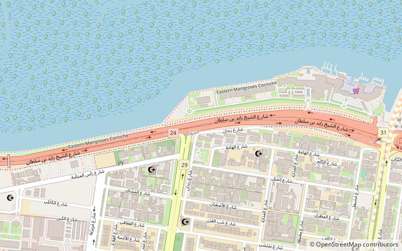
Salam Street, now renamed as "Sheikh Zayed bin Sultan Street", and less commonly known as 8th Street or Eastern Ring Road, is one of the main roads in the city of Abu Dhabi. It starts from Sheikh Zayed Bridge and curves its way around Abu Dhabi's eastern end until it ends at the intersection with Corniche Road. Salam Street runs through the main modern shopping area and Robat Street, the new bypass north of the town. ()
Coordinates: 24°26'41"N, 54°25'57"E
Address
Abu Dhabi
ContactAdd
Social media
Add
Day trips
Salam Street – popular in the area (distance from the attraction)
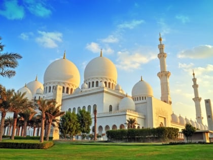
Nearby attractions include: Sheikh Zayed Mosque, Al Seef Village Mall, Umm Al Emarat Park, St. Joseph's Cathedral.
Frequently Asked Questions (FAQ)
How to get to Salam Street by public transport?
The nearest stations to Salam Street:
Bus
Bus
- B03115 (27 min walk)

