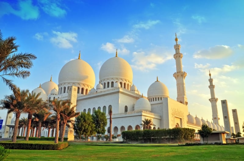
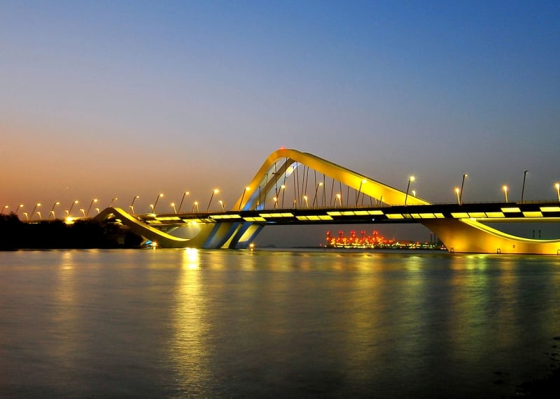
Sheikh Zayed Bridge, Abu Dhabi
Gallery (1)
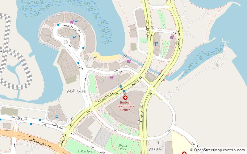
Map
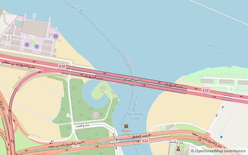
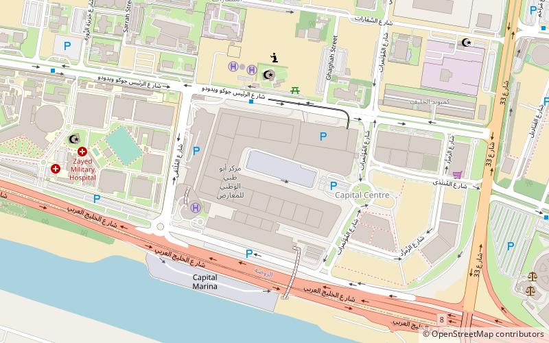
Map
Facts and practical information
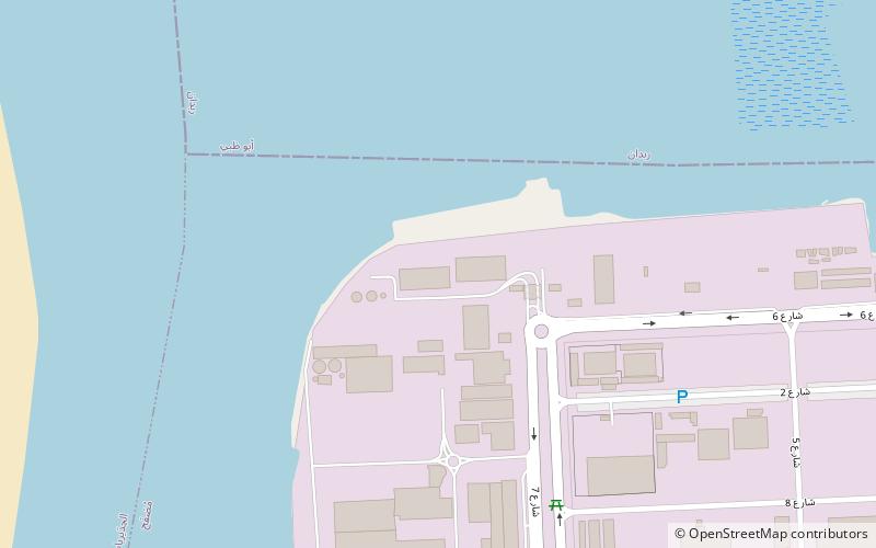
Sheikh Zayed Bridge (address: Near Maqtaa Bridge) is a place located in Abu Dhabi (Abu Dhabi emirate) and belongs to the category of bridge.
It is situated at an altitude of 0 feet, and its geographical coordinates are 24°25'27"N latitude and 54°29'7"E longitude.
Among other places and attractions worth visiting in the area are: Sheikh Zayed Mosque (sacred and religious sites, 25 min walk), Khalifa Park (park, 27 min walk), Petroleum Institute (universities and schools, 28 min walk).
Coordinates: 24°25'27"N, 54°29'7"E
Day trips