Shell Grotto, Pontypool
Map

Map

Facts and practical information
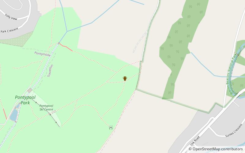
The Shell Grotto - - is a Grade II* listed late-18th-century stone built, cylindrical, slate roofed shell grotto decorated with shells and animal bones on the interior. It stands on a prominent ridge 700 ft above sea level, within the boundary of Pontypool Park, Torfaen in south Wales. It is considered to be the best surviving grotto in Wales. It is an important local landmark commanding views south towards the Severn Estuary. A little further along the same ridge can be found the Folly Tower. ()
Completed: 1784 (242 years ago)Height: 29 ftCoordinates: 51°42'13"N, 3°1'27"W
Day trips
Shell Grotto – popular in the area (distance from the attraction)
Nearby attractions include: Pontypool Park, Torfaen Museum, Folly Tower, Panteg cemetery.
Frequently Asked Questions (FAQ)
Which popular attractions are close to Shell Grotto?
Nearby attractions include Panteg cemetery, Pontypool (12 min walk), Pontypool Park, Pontypool (12 min walk), Torfaen Museum, Pontypool (17 min walk), Folly Tower, Brecon Beacons (24 min walk).


