Folly Tower, Brecon Beacons
Map

Map

Facts and practical information
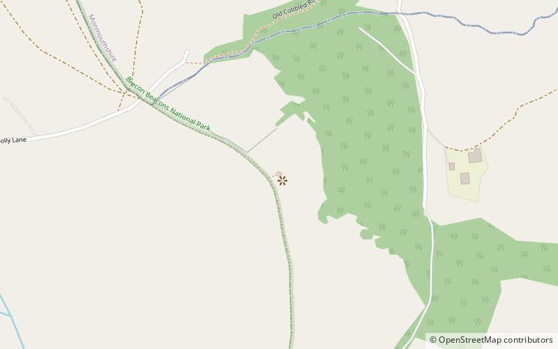
The Folly Tower is a folly located within the grounds of a working farm, close to Pontypool Park, Torfaen, South Wales. It is a prominent local landmark above the A4042 Pontypool to Abergavenny road and overlooks Pontypool to the west and rural Monmouthshire to the east. The Folly is octagonal in shape and roughly 40 ft high and is approximately 1,000 ft above sea level on the eastern hill range of the Eastern Valley of Monmouthshire, just south of Mynydd Garn-Wen. Less than a mile from the folly is the Shell Grotto. ()
Demolished: 1940Height: 40 ftCoordinates: 51°43'0"N, 3°1'17"W
Address
Brecon Beacons
ContactAdd
Social media
Add
Day trips
Folly Tower – popular in the area (distance from the attraction)
Nearby attractions include: Cwmbran Centre, Pontypool Park, Alice Springs Golf Club, Torfaen Museum.


