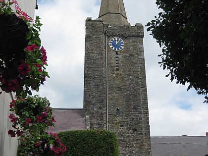
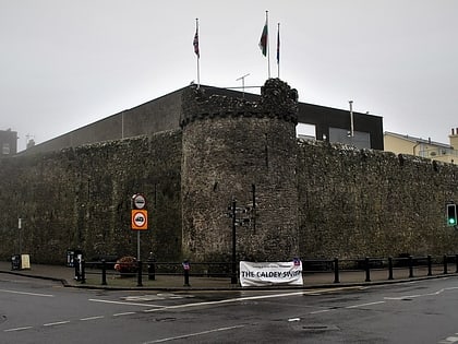
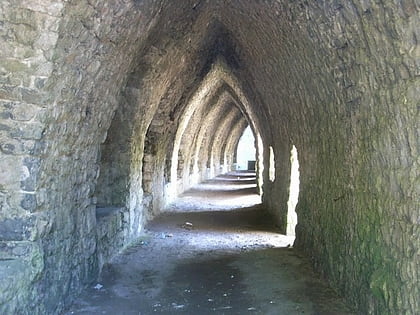
Tudor Merchant's House, Tenby
Map
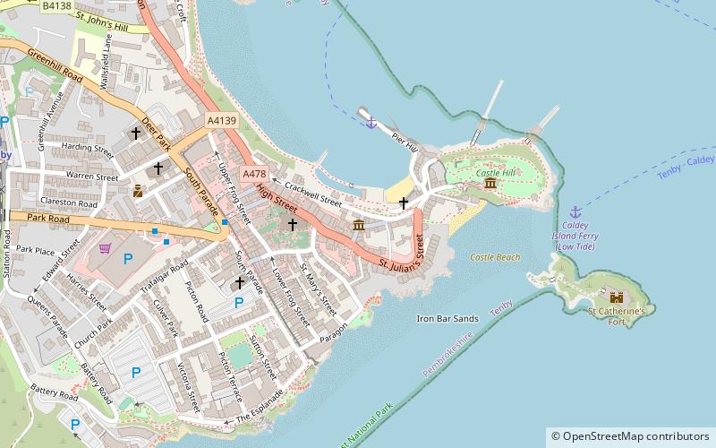
Map

Facts and practical information
The Tudor Merchant's House is a 15th-century town house located in Tenby, Pembrokeshire, in south west Wales. ()
Coordinates: 51°40'18"N, 4°41'53"W
Day trips
Tudor Merchant's House – popular in the area (distance from the attraction)
Nearby attractions include: Tenby Golf Club, Tenby Museum and Art Gallery, Tenby Castle, St Catherine's Fort.
Frequently Asked Questions (FAQ)
Which popular attractions are close to Tudor Merchant's House?
Nearby attractions include St Mary's Church, Tenby (2 min walk), Five Arches, Tenby (4 min walk), Tenby town walls, Tenby (4 min walk), Tenby Museum and Art Gallery, Tenby (4 min walk).
How to get to Tudor Merchant's House by public transport?
The nearest stations to Tudor Merchant's House:
Bus
Train
Bus
- Upper Park Road • Lines: 352 (6 min walk)
Train
- Tenby (10 min walk)
- Penally (35 min walk)


