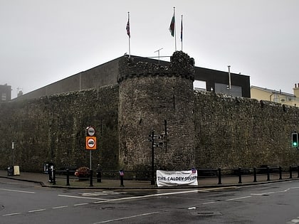
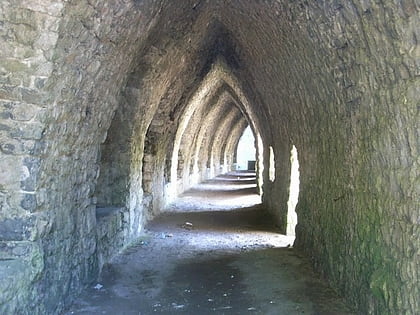
Tenby town walls, Tenby
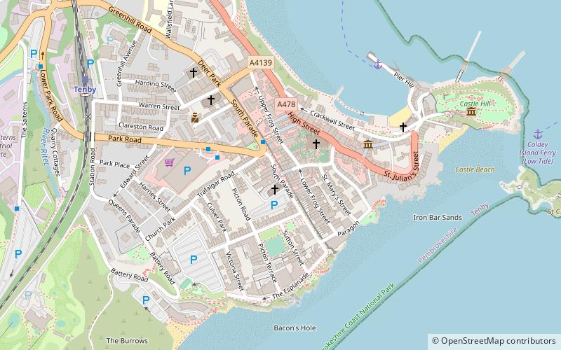
Map
Gallery
Facts and practical information
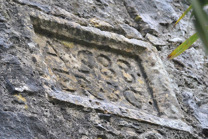
The Tenby town walls are Grade I-listed medieval defensive structures around the town of Tenby in Pembrokeshire. They are assessed as one of the most important surviving medieval city walls in Britain. The walls were built in the 13th century by the Earls of Pembroke and improved in the 1450s. They were last known to have been repaired in 1588 and have declined thereafter. Most of the town's gates were demolished beginning in the 18th century and only one survives. ()
Coordinates: 51°40'16"N, 4°42'3"W
Address
Tenby
ContactAdd
Social media
Add
Day trips
Tenby town walls – popular in the area (distance from the attraction)
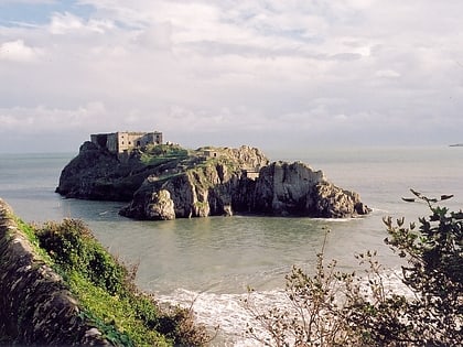
Nearby attractions include: Tenby Golf Club, Tenby Museum and Art Gallery, Tenby Castle, St Catherine's Fort.
Frequently Asked Questions (FAQ)
Which popular attractions are close to Tenby town walls?
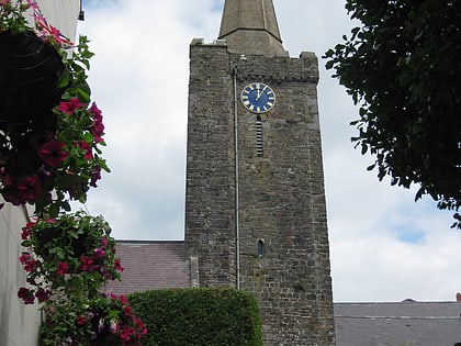
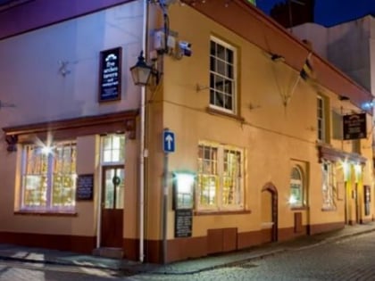
Nearby attractions include Five Arches, Tenby (1 min walk), St Mary's Church, Tenby (2 min walk), Tudor Merchant's House, Tenby (4 min walk), Tenby Museum and Art Gallery, Tenby (7 min walk).
How to get to Tenby town walls by public transport?
The nearest stations to Tenby town walls:
Bus
Train
Bus
- Upper Park Road • Lines: 352 (3 min walk)
Train
- Tenby (8 min walk)
- Penally (32 min walk)
