Slwch Tump, Brecon
Map

Map

Facts and practical information
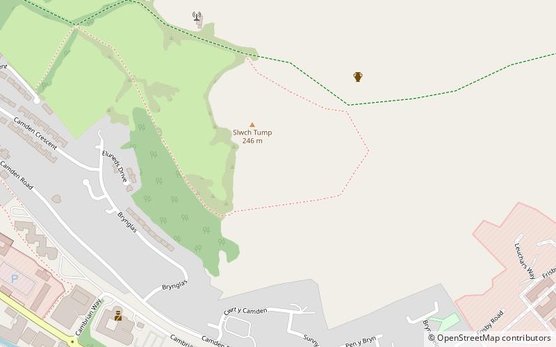
Slwch Tump, also known as Slwch Camp and formerly known as Pen Cevn-y-Gaer, is an Iron Age hillfort close to Brecon in Powys, Wales. ()
Length: 614 ftWidth: 794 ftCoordinates: 51°56'46"N, 3°22'29"W
Address
Brecon
ContactAdd
Social media
Add
Day trips
Slwch Tump – popular in the area (distance from the attraction)
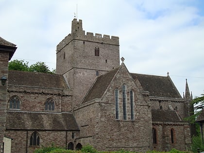
Nearby attractions include: Brecon Cathedral, St Mary's Church, Theatr Brycheiniog, South Wales Borderers Museum.
Frequently Asked Questions (FAQ)
Which popular attractions are close to Slwch Tump?
Nearby attractions include South Wales Borderers Museum, Brecon (11 min walk), Theatr Brycheiniog, Brecon (16 min walk), Plough Lane Chapel, Brecon (16 min walk), Y Gaer, Brecon (16 min walk).
How to get to Slwch Tump by public transport?
The nearest stations to Slwch Tump:
Bus
Bus
- Brecon Bus Station (13 min walk)


