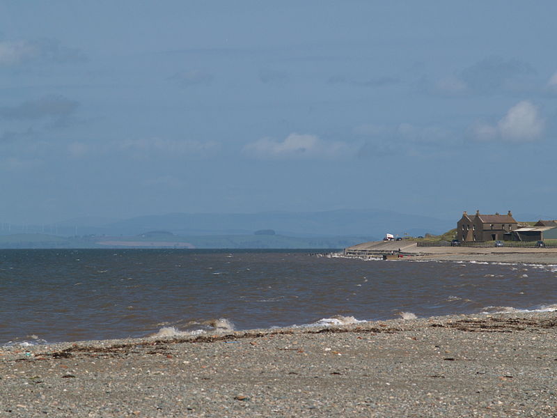
Allonby Bay, Hadrian's Wall
Map

Gallery

Facts and practical information
Allonby Bay is a crescent-shaped bay of the Solway Firth on the north-western shore of Cumbria, England. The bay is 5.5 miles across. Its northern point is at Dubmill, between the village of Mawbray and the hamlet of Salta, and its southern end is just to the north of Maryport, near the village of Crosscanonby. The B5300 coast road follows the shoreline of Allonby Bay, running between Silloth in the north and Maryport in the south. ()
Coordinates: 54°46'0"N, 3°27'0"W
Address
Hadrian's Wall
ContactAdd
Social media
Add
Day trips
Allonby Bay – popular in the area (distance from the attraction)
Nearby attractions include: Clip 'n Climb Maryport, Salta Moss, Senhouse Roman Museum, Cave at The Wave.


