Milefortlet 14, Hadrian's Wall

Gallery (1)
Map
Map
Facts and practical information
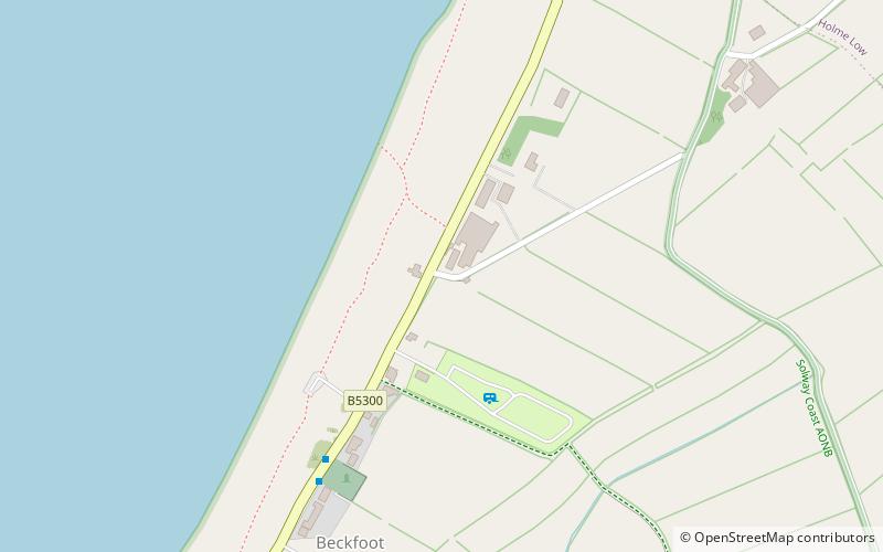
Milefortlet 14 was a Milefortlet of the Roman Cumbrian Coast defences. These milefortlets and intervening stone watchtowers extended from the western end of Hadrian's Wall, along the Cumbrian coast and were linked by a wooden palisade. They were contemporary with defensive structures on Hadrian's Wall. The site of Milefortlet 14 has never been identified and it may lie beneath the village of Beckfoot. A larger fort known as Bibra Roman Fort was located 500 metres south-west of Milefortlet 14. ()
Coordinates: 54°50'7"N, 3°24'41"W
Address
Hadrian's Wall
ContactAdd
Social media
Add
Day trips