St Mary, Ipswich
Map

Map

Facts and practical information
St Mary's, often called St Mary Woodbridge Road, is a Catholic church in Ipswich which has the largest congregation in the town and the second largest congregation in Suffolk. Its parish hall is the site of the first post reformation Catholic church in Ipswich, St Antony. It is part of the Diocese of East Anglia. ()
Coordinates: 52°3'39"N, 1°10'26"E
Day trips
St Mary – popular in the area (distance from the attraction)
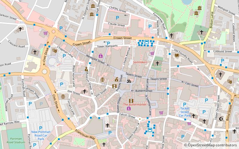
Nearby attractions include: Sailmakers Shopping Centre, Christchurch Park, Buttermarket Centre, Christchurch Mansion.
Frequently Asked Questions (FAQ)
Which popular attractions are close to St Mary?
Nearby attractions include Clifford Road Air Raid Shelter, Ipswich (11 min walk), St Helen's Church, Ipswich (12 min walk), Alexandra Park, Ipswich (14 min walk), Suffolk New College, Ipswich (15 min walk).
How to get to St Mary by public transport?
The nearest stations to St Mary:
Bus
Train
Bus
- Rivers Street • Lines: 6, 64, 66, 66A (1 min walk)
- Khartoum Road • Lines: 6, 64, 66, 66A (3 min walk)
Train
- Derby Road (21 min walk)


