St Margaret's Church, Ipswich
Map

Map

Facts and practical information
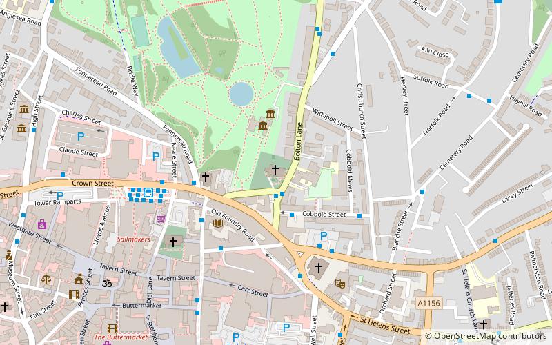
St Margaret's Church is a medieval church in Ipswich, Suffolk, England. It was built in around 1300 by the Augustinian canons of the adjacent Priory of the Holy Trinity to cater for the increasing population. The building and much of the congregation was located just outside the ramparts to the north of medieval Ipswich. ()
Coordinates: 52°3'35"N, 1°9'31"E
Day trips
St Margaret's Church – popular in the area (distance from the attraction)
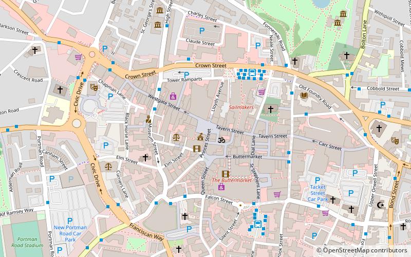
Nearby attractions include: Sailmakers Shopping Centre, Christchurch Park, Buttermarket Centre, Portman Road.
Frequently Asked Questions (FAQ)
Which popular attractions are close to St Margaret's Church?
Nearby attractions include Christchurch Mansion, Ipswich (2 min walk), St Mary le Tower, Ipswich (5 min walk), Ipswich Regent, Ipswich (5 min walk), Capelli's Dial Lane, Ipswich (6 min walk).
How to get to St Margaret's Church by public transport?
The nearest stations to St Margaret's Church:
Bus
Train
Bus
- Soane Street • Lines: 118, 119, 59, 70 (1 min walk)
- Crown Street • Lines: 116 (3 min walk)
Train
- Ipswich (23 min walk)
- Derby Road (31 min walk)


