Nantlle Ridge, Rhyd Ddu
Map

Map

Facts and practical information
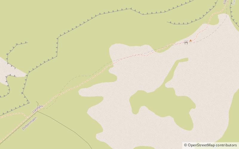
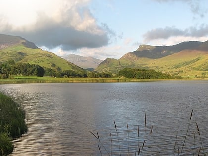
The Nantlle Ridge is the name given to a small range of mountains in Snowdonia, north Wales which runs south-west from the village of Rhyd Ddu for a distance of about 9 km, ending above Nebo in the Nantlle Valley. ()
Coordinates: 53°1'40"N, 4°12'18"W
Address
Rhyd Ddu
ContactAdd
Social media
Add
Day trips
Nantlle Ridge – popular in the area (distance from the attraction)
Nearby attractions include: St Mary's Church, Llyn Nantlle Uchaf, Mynydd Mawr, Pitt's Head.
Frequently Asked Questions (FAQ)
Which popular attractions are close to Nantlle Ridge?
Nearby attractions include Craig Cwm Silyn, Snowdonia National Park (21 min walk), Garnedd Goch, Snowdonia National Park (21 min walk).


