Trum y Ddysgl, Snowdonia National Park
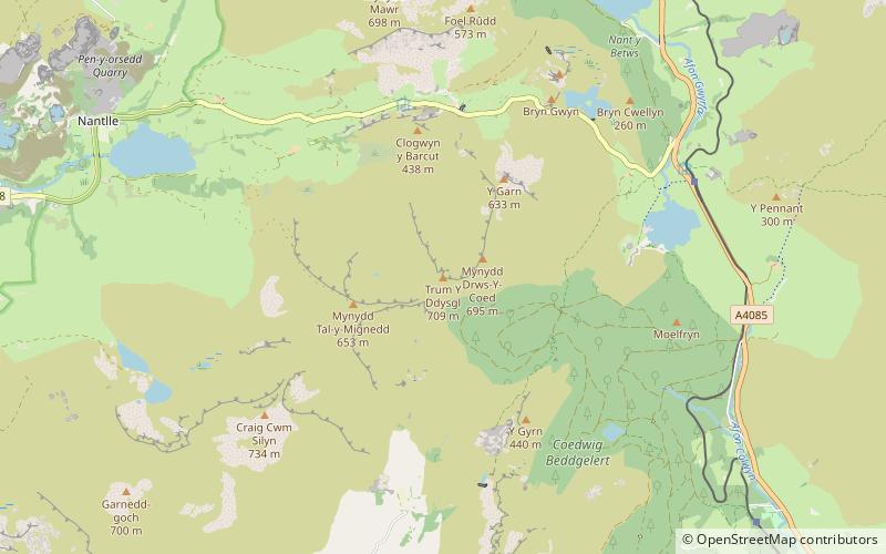
Map

Map

Facts and practical information
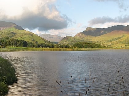
Trum y Ddysgl is a mountain in Snowdonia, north Wales and is the second highest summit on the celebrated Nantlle Ridge. It is also one half of the two Marilyns that make up the ridge, the other being Craig Cwm Silyn. ()
Area: 23.8 acres (0.0372 mi²)Elevation: 2326 ftProminence: 669 ftCoordinates: 53°2'32"N, 4°10'19"W
Address
Snowdonia National Park
ContactAdd
Social media
Add
Day trips
Trum y Ddysgl – popular in the area (distance from the attraction)
Nearby attractions include: St Mary's Church, Llyn Nantlle Uchaf, Mynydd Mawr, Pitt's Head.
Frequently Asked Questions (FAQ)
Which popular attractions are close to Trum y Ddysgl?
Nearby attractions include Mynydd Drws-y-Coed, Snowdonia National Park (9 min walk), Mynydd Tal-y-Mignedd, Snowdonia National Park (16 min walk), Y Garn, Snowdonia National Park (19 min walk).


