Simonside Hills, Northumberland National Park

Map
Facts and practical information
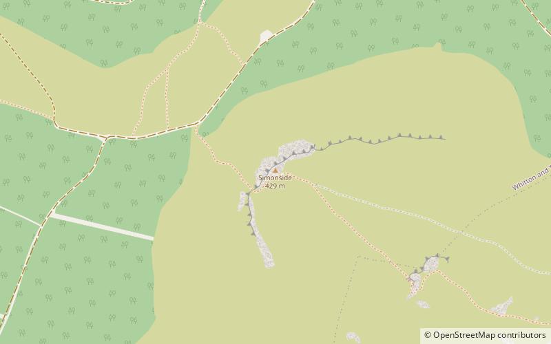
The Simonside Hills are a hill range in Northumberland, England near the town of Rothbury. Most of the hills are around 300–400 metres high and are popular spots for hikers in the area. The highest point is Tosson Hill at 440 metres. ()
Coordinates: 55°16'57"N, 1°57'50"W
Day trips
Simonside Hills – popular in the area (distance from the attraction)
Nearby attractions include: Cragside, St Cuthbert's Church, Elsdon Tower, Cragend Silo.


