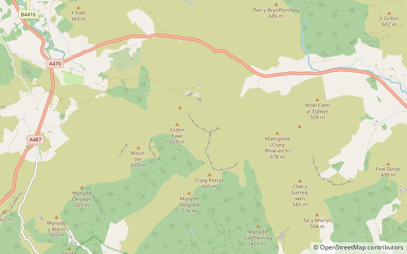
Cribin Fawr, Snowdonia National Park
Map

Map

Facts and practical information
Cribin Fawr is a mountain in Snowdonia, North Wales, situated approximately four miles to the south-west of Aran Fawddwy. It is one of the peaks in the Dyfi hills, a subgroup of the Cadair Idris group. It is a top of Maesglase, connected to its parent peak by the Craig Portas ridge. The top of Cribin Fawr is a large open plateau of peat bog. To the west is Waun-oer, to the north Cadair Idris, to the south Maesglase and Glasgwm to the east. ()
Elevation: 2162 ftProminence: 305 ftCoordinates: 52°43'16"N, 3°46'38"W
Address
Snowdonia National Park
ContactAdd
Social media
Add
Day trips
Cribin Fawr – popular in the area (distance from the attraction)
Nearby attractions include: Mynydd Dolgoed, Maesglase, Waun-oer, Mynydd Llwydiarth.


