Waun-oer, Snowdonia National Park
Map

Map

Facts and practical information
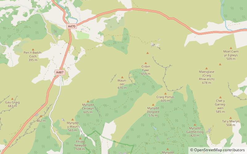
Waun-oer is a mountain in Snowdonia, North Wales, situated approximately four miles to the south-west of Aran Fawddwy. It is one of the peaks in the Dyfi hills, a subgroup of the Cadair Idris group. It is a top of Maesglase and the summit consists of a trig point that crowns an uneven grassy plateau. It is connected to Cribin Fawr to the east and Mynydd Ceiswyn to the south. To the north lies Cadair Idris, while Tarren y Gesail lies to the west. ()
Elevation: 2198 ftProminence: 390 ftCoordinates: 52°43'2"N, 3°47'56"W
Address
Snowdonia National Park
ContactAdd
Social media
Add
Day trips
Waun-oer – popular in the area (distance from the attraction)
Nearby attractions include: Mynydd Dolgoed, Mynydd Ceiswyn, Cribin Fawr, Mynydd Llwydiarth.


