Mynydd Machen
Map

Map

Facts and practical information
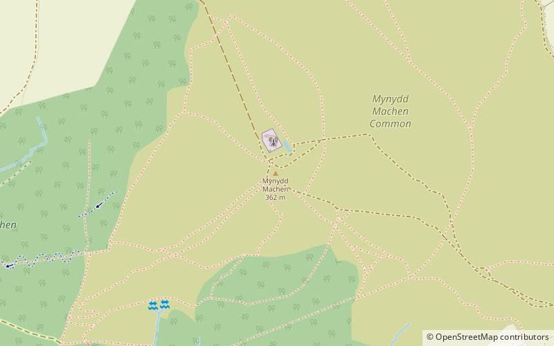
Mynydd Machen is a 362-metre-high hill lying between the town of Risca and the village of Machen in Caerphilly County Borough in south Wales. Its summit is crowned by a trig point and a mast. ()
Elevation: 1188 ftProminence: 607 ftCoordinates: 51°36'13"N, 3°7'19"W
Location
Wales
ContactAdd
Social media
Add
Day trips
Mynydd Machen – popular in the area (distance from the attraction)
Nearby attractions include: Twmbarlwm, Fourteen Locks, Ruperra Castle, St James's Church.


