Mynydd y Grug

Map
Facts and practical information
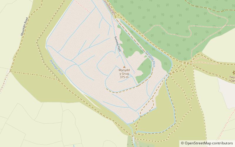
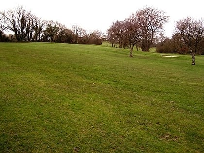
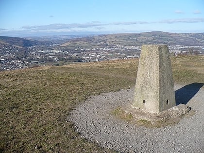
Mynydd y Grug is a hill lying just west of the village of Cwmfelinfach and about 4 km to the northeast of Caerphilly in Caerphilly county borough in South Wales. Its summit was formerly at a height of around 358 m, but since the top has been covered by a large spoil heap and landscaped its height has now increased to 375 m, though some authorities take other values for the summit height. A number of ancient cairns are found along its edge overlooking the Sirhowy Valley, the slopes up from which are largely wooded. ()
Elevation: 1230 ftCoordinates: 51°36'31"N, 3°11'24"W
Location
Wales
ContactAdd
Social media
Add
Day trips
Mynydd y Grug – popular in the area (distance from the attraction)
Nearby attractions include: Caerphilly Castle, Llanishen Golf Club, Caerphilly Golf Club, Caerphilly mountain.


