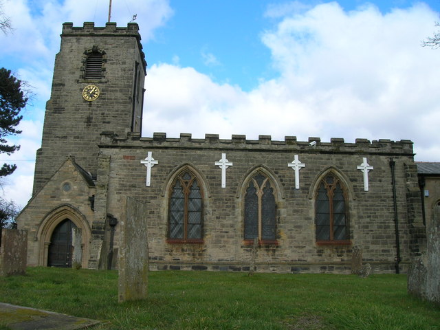
St Wilfrid's Church

Gallery (2)
Map
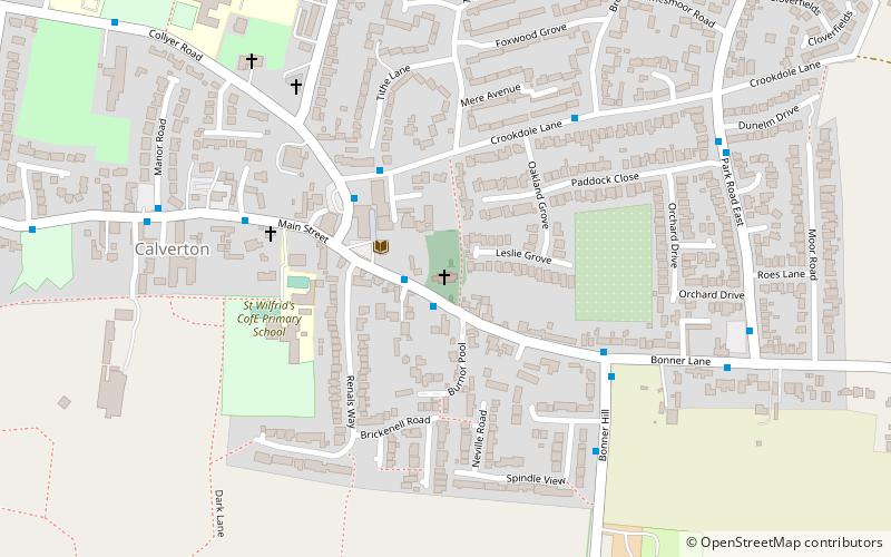
Map
Gallery
Facts and practical information
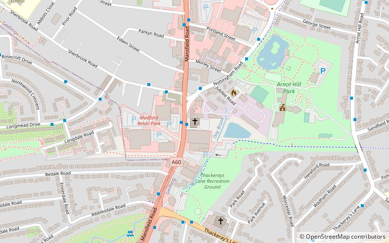
St Wilfrid's Church is a Grade II* listed parish church in the Church of England in Calverton, Nottinghamshire. ()
Coordinates: 53°2'11"N, 1°4'51"W
Day trips
St Wilfrid's Church is a Grade II* listed parish church in the Church of England in Calverton, Nottinghamshire. ()
Where to next? Visit ![]() England region page or discover the top tourist attractions in United Kingdom.
England region page or discover the top tourist attractions in United Kingdom.