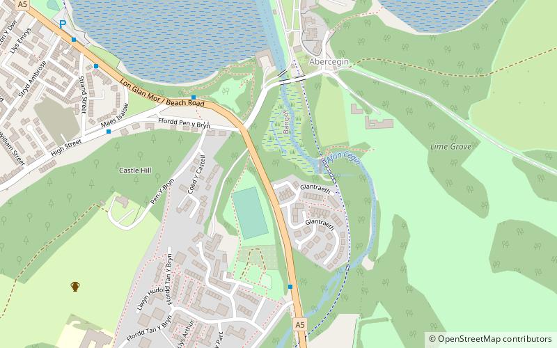
River Adda, Bangor

Map
Facts and practical information
River Adda is a small watercourse which flows, through the city of Bangor North Wales before discharging into the Menai Strait at Hirael Bay, opposite Porth Penrhyn. The name is said to be of 19th-century origin, deriving from a field Cae Mab Adda close to its source. Its earlier name was Tarannon. ()
Coordinates: 53°13'47"N, 4°6'40"W
Address
Bangor
ContactAdd
Social media
Add
Day trips
River Adda – popular in the area (distance from the attraction)
Nearby attractions include: Penrhyn Castle, Bangor Cathedral, St Deiniol Golf Club, Penrhyn Castle Railway Museum.
Frequently Asked Questions (FAQ)
Which popular attractions are close to River Adda?
Nearby attractions include Port Penrhyn, Bangor (9 min walk), Maesgeirchen, Bangor (11 min walk), Bangor Mountain, Bangor (15 min walk), Garth Community Centre, Bangor (16 min walk).
How to get to River Adda by public transport?
The nearest stations to River Adda:
Bus
Train
Bus
- Bangor bus station (17 min walk)
- Bangor Bus Station • Lines: 79 (17 min walk)
Train
- Bangor (29 min walk)


