Seathwaite Tarn, Grasmere
Map

Map

Facts and practical information
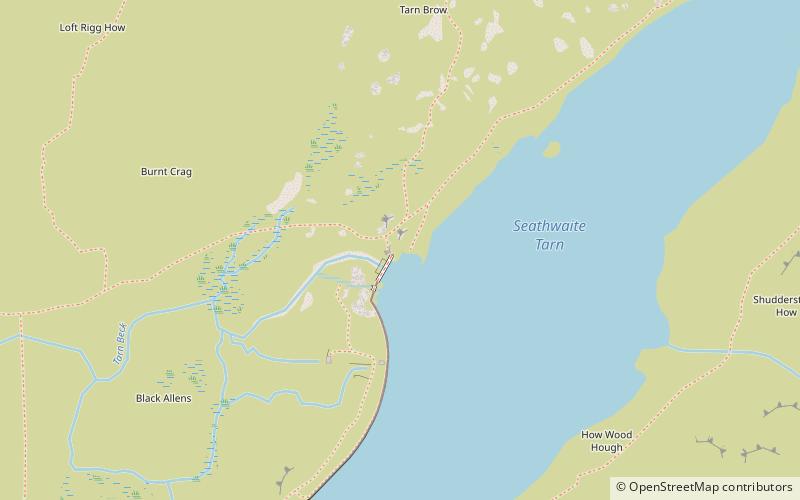
Seathwaite Tarn is a reservoir in the Furness Fells within the English Lake District. It is located to the south of Grey Friar and to the west of Brim Fell and north east of the village of Seathwaite on the east of the Duddon Valley. ()
Maximum depth: 80 ftElevation: 1234 ft a.s.l.Coordinates: 54°22'45"N, 3°9'18"W
Address
Grasmere
ContactAdd
Social media
Add
Day trips
Seathwaite Tarn – popular in the area (distance from the attraction)
Nearby attractions include: Dow Crag, Goat's Water, Birks Bridge, Brim Fell.


