Goat's Water

Gallery (1)
Map
Map
Facts and practical information
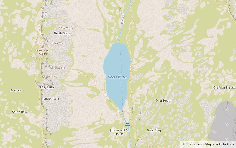
Goat's Water is a small accessible tarn in the English Lake District, located between Dow Crag and The Old Man of Coniston to the Duddon Valley, near the town of Coniston. ()
Elevation: 1663 ft a.s.l.Coordinates: 54°22'9"N, 3°7'53"W
Location
England
ContactAdd
Social media
Add
Day trips


