Selworthy Beacon, Exmoor National Park
Map

Gallery

Facts and practical information
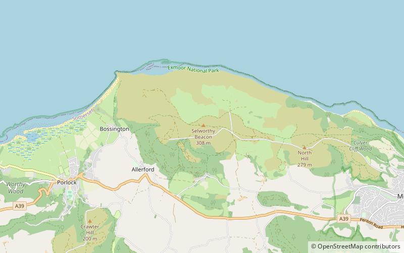
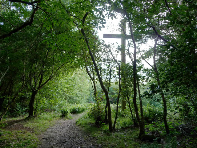
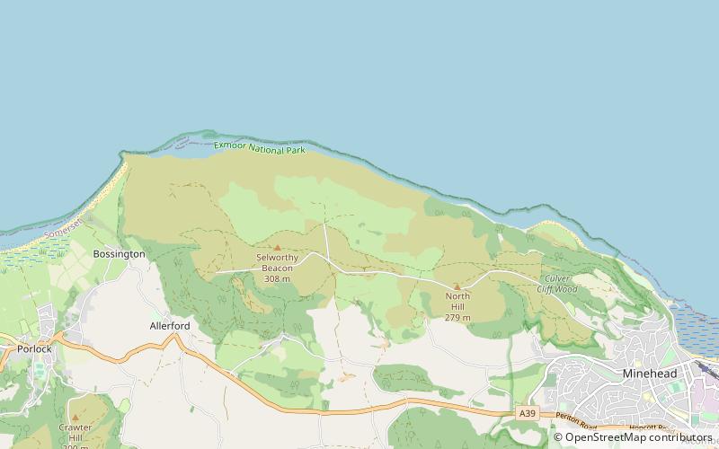
Selworthy Beacon is a hill and Marilyn of Exmoor in Somerset, England. It lies within the boundaries of Exmoor National Park, to the north of the village of Selworthy and northwest of Minehead. A road leads to the top, where there is a National Trust plaque and a view of the south coast of Wales across the Bristol Channel. The South West Coast Path also climbs the hill and ends slightly shy of the summit. ()
Elevation: 1010 ftCoordinates: 51°13'14"N, 3°32'60"W
Address
Exmoor National Park
ContactAdd
Social media
Add
Day trips
Selworthy Beacon – popular in the area (distance from the attraction)
Nearby attractions include: Church of All Saints, Scheduled monuments in West Somerset, Lynch Chapel Of Ease, Bury Castle.
Frequently Asked Questions (FAQ)
Which popular attractions are close to Selworthy Beacon?
Nearby attractions include Bury Castle, Exmoor National Park (13 min walk), Church of All Saints, Exmoor National Park (19 min walk), East Myne, Exmoor National Park (19 min walk), Scheduled monuments in West Somerset, Exmoor National Park (24 min walk).


