Trek Zone

East Myne, Exmoor National Park

#76 among attractions in Exmoor National Park

Forts and castles
East Myne location map
Map

Facts and practical information
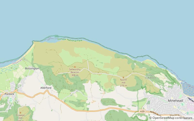
Coordinates: 51°13'25"N, 3°32'2"W
Address

Exmoor National Park United Kingdom

ContactAdd
Social media
Add
Day trips

East Myne – popular in the area (distance from the attraction)

Nearby attractions include: South West Coast Path, Coleridge Way, Church of All Saints, Scheduled monuments in West Somerset.

  • south west coast path minehead2.7 miE
  • coleridge way porlock2.2 miSW
  • church of all saints exmoor national park1.1 miSW
  • scheduled monuments in west somerset exmoor national park1.7 miW
  • church of st dubricius porlock2.9 miW
  • dovery manor museum porlock2.8 miW
  • kildare lodge minehead2.9 miSE
  • blenheim gardens minehead2.8 miSE
  • church of st michael minehead2.5 miE
  • lynch chapel of ease exmoor national park1.9 miW
  • bury castle exmoor national park1 miSW

Where to next? Visit england England region page or discover the top tourist attractions in United Kingdom.