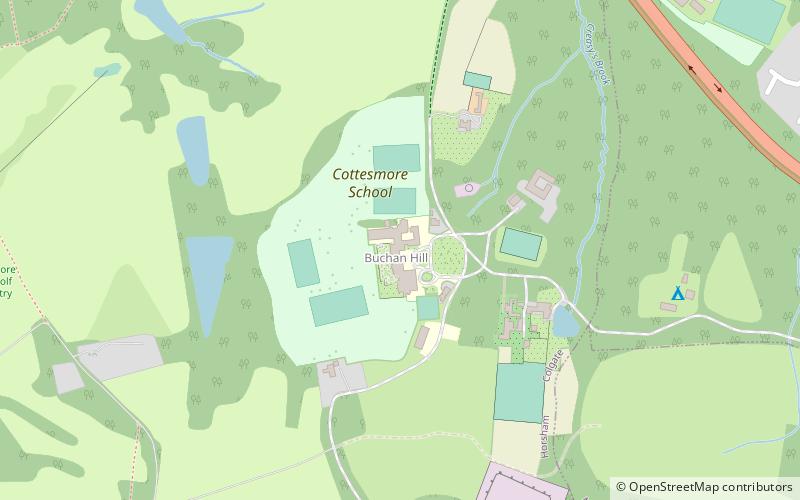
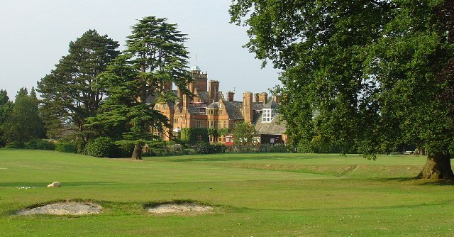
Cottesmore School, Crawley
Map

Gallery

Facts and practical information
Cottesmore is a preparatory school in the United Kingdom, which has been preparing children for public schools since 1894. It is full boarding. ()
Coordinates: 51°5'15"N, 0°12'58"W
Day trips
Cottesmore School – popular in the area (distance from the attraction)
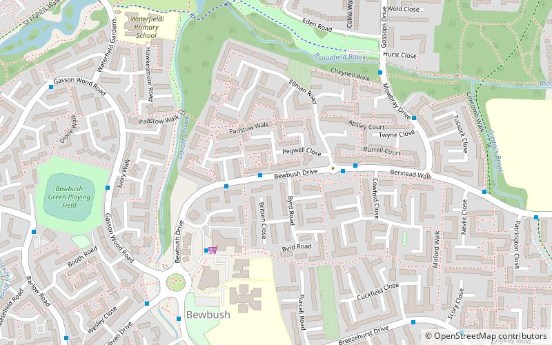
Nearby attractions include: Target Hill Park, Broadfield Stadium, Bewbush, Broadfield.
Frequently Asked Questions (FAQ)
Which popular attractions are close to Cottesmore School?
Nearby attractions include Target Hill Park, Crawley (18 min walk), Broadfield, Crawley (18 min walk), Cedars, Crawley (24 min walk).
How to get to Cottesmore School by public transport?
The nearest stations to Cottesmore School:
Bus
Bus
- Creasys Drive South • Lines: 1, 20 (12 min walk)
- Little Trees Cemetery • Lines: 20 (16 min walk)


