Cedars, Crawley

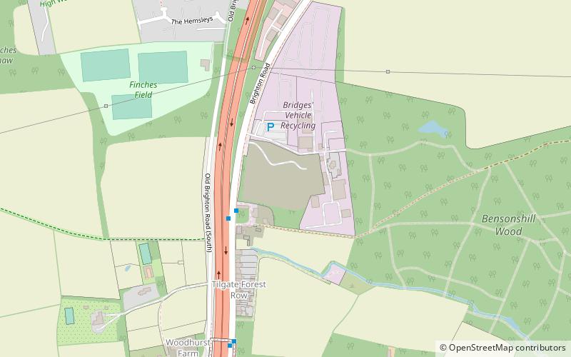
Map
Facts and practical information
Cedars was an immigration detention facility in Crawley, West Sussex, United Kingdom adjacent to Gatwick Airport. It was operated by UK Visas and Immigration with security and facilities maintenance contracted out to G4S and Barnardo's providing social workers and child welfare services. ()
Coordinates: 51°4'41"N, 0°12'6"W
Address
Crawley
ContactAdd
Social media
Add
Day trips
Cedars – popular in the area (distance from the attraction)
Nearby attractions include: Tilgate Park, Tilgate Lake, Tilgate Nature Centre, Broadfield.
Frequently Asked Questions (FAQ)
How to get to Cedars by public transport?
The nearest stations to Cedars:
Bus
Bus
- The Stables • Lines: 271, 273 (3 min walk)
- Tilgate Forest Row • Lines: 271, 273 (6 min walk)


