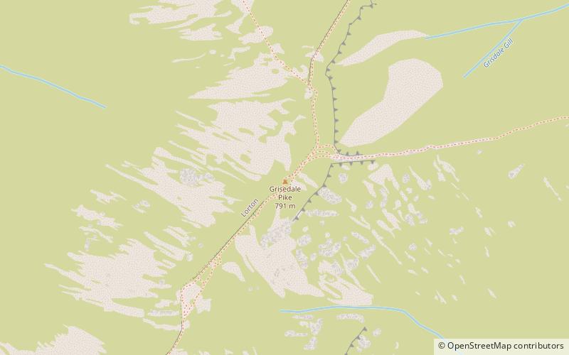
Grisedale Pike

Gallery (2)
Map
Map
Gallery
Facts and practical information
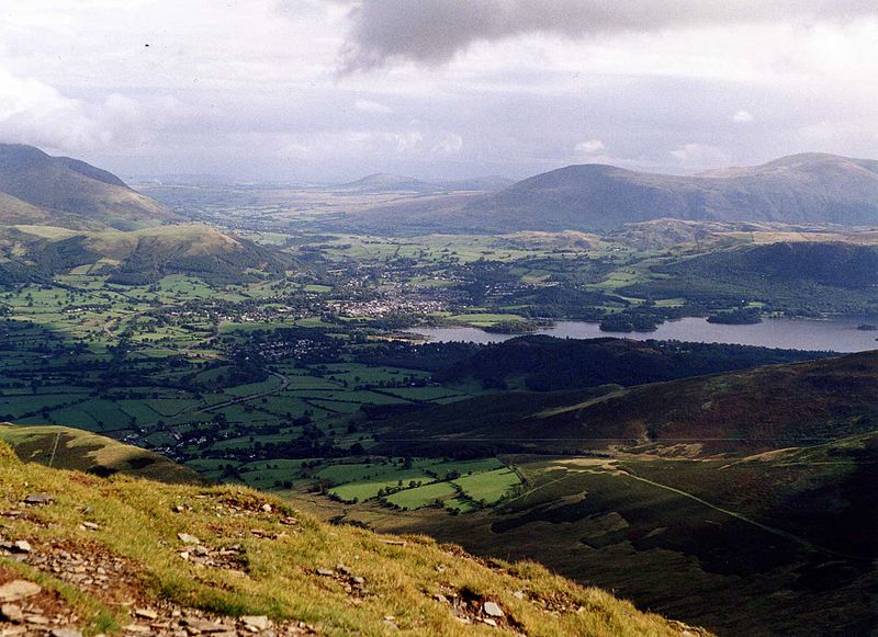
Grisedale Pike is a fell in the Lake District, Cumbria, England, situated 4.5 miles west of the town of Keswick in the north-western sector of the national park. At a height of 791 m it is the 40th-highest Wainwright in the Lake District; it also qualifies as a Hewitt, Marilyn and Nuttall. Grisedale Pike presents a striking appearance when viewed from the east, particularly from the vicinity of Keswick. It possesses two subsidiary summits: one unnamed; the other Hobcarton End. ()
Elevation: 2595 ftProminence: 620 ftCoordinates: 54°35'30"N, 3°14'32"W
Location
England
ContactAdd
Social media
Add
Day trips


