Rowling End, Lake District National Park

Gallery (2)
Map
Map
Gallery
Facts and practical information
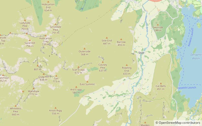
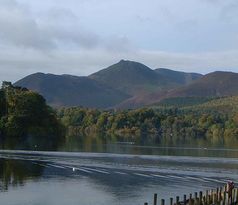
Rowling end is a peak in the Lake District about 433 meters it is a steep slope leading up towards Causey Pike. It is briefly mentioned in books however they mainly focus on Causey Pike. The summit has a small kern on it amongst the heather and other shrubs and plants. ()
Elevation: 1421 ftCoordinates: 54°34'35"N, 3°12'41"W
Address
Lake District National Park
ContactAdd
Social media
Add
Day trips


