Rod's Pot, Mendips
Map

Map

Facts and practical information
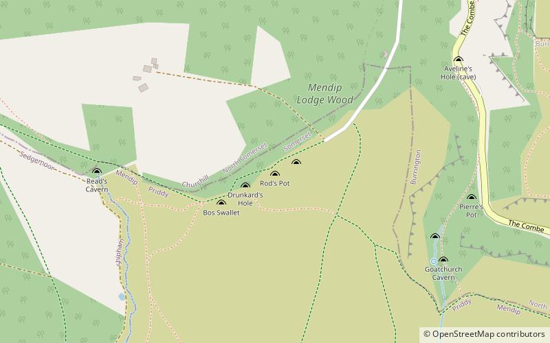
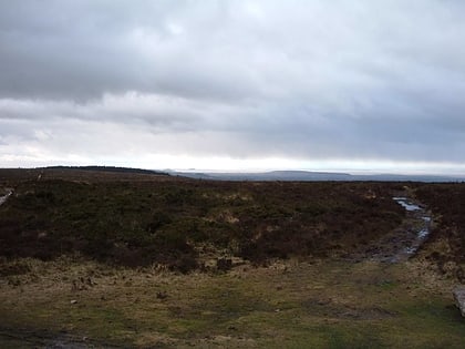
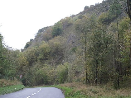
Rod's Pot is a limestone cave above Burrington Combe in the Mendip Hills, in Somerset, England. ()
Length: 617 ftDepth: 148 ftCoordinates: 51°19'21"N, 2°45'33"W
Address
Mendips
ContactAdd
Social media
Add
Day trips
Rod's Pot – popular in the area (distance from the attraction)
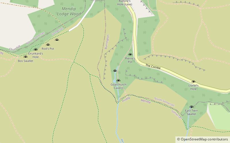
Nearby attractions include: Bos Swallet, East Twin Swallet, Bath Swallet, Aveline's Hole.
Frequently Asked Questions (FAQ)
Which popular attractions are close to Rod's Pot?
Nearby attractions include Bath Swallet, Mendips (1 min walk), Drunkard's Hole, Mendips (2 min walk), Bos Swallet, Mendips (3 min walk), Sidcot Swallet, Mendips (6 min walk).


