Black Down, Mendips
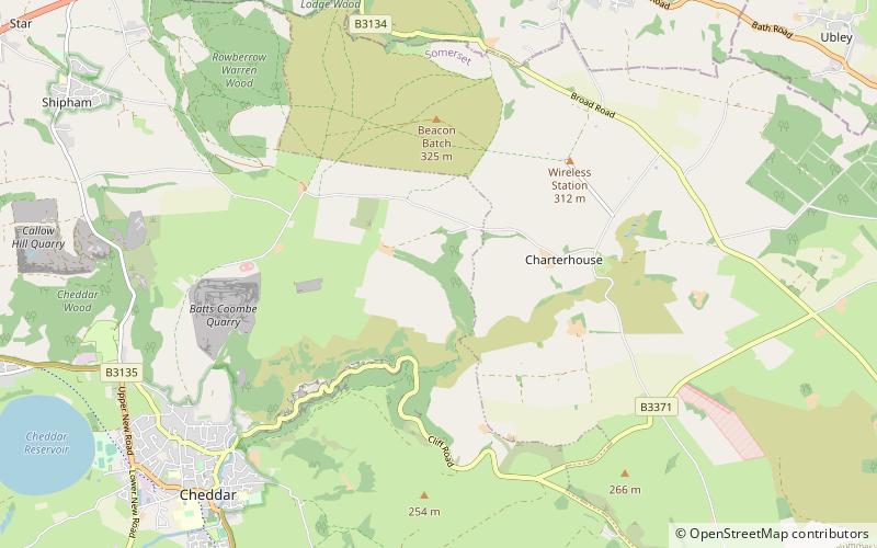
Map
Gallery
Facts and practical information
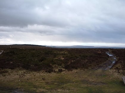
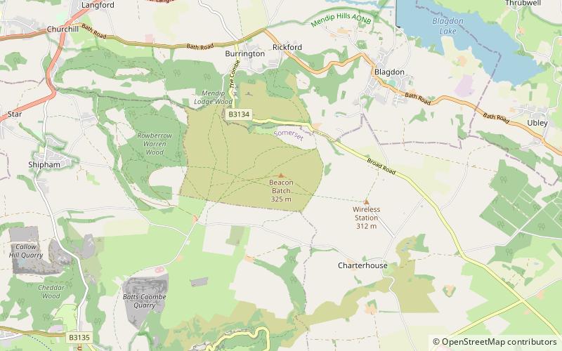
Black Down is the highest hill in the Mendip Hills, Somerset, in south-western England. Black Down lies just a few miles eastward of the Bristol Channel at Weston-super-Mare, and provides a view over the Chew Valley. The summit is marked with an Ordnance Survey trig point, the base of which has been rebuilt by the Mendip Hills AONB authority. ()
Elevation: 1066 ftProminence: 791 ftCoordinates: 51°18'44"N, 2°44'27"W
Address
Mendips
ContactAdd
Social media
Add
Day trips
Black Down – popular in the area (distance from the attraction)
Nearby attractions include: Bos Swallet, East Twin Swallet, Bath Swallet, Aveline's Hole.
Frequently Asked Questions (FAQ)
Which popular attractions are close to Black Down?
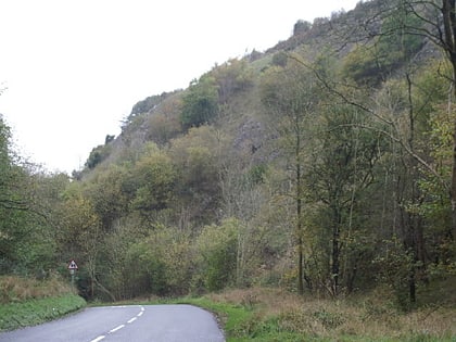
Nearby attractions include East Twin Swallet, Mendips (16 min walk), Burrington Combe, Cheddar (20 min walk), Charterhouse Cave, Mendips (21 min walk), Goatchurch Cavern, Mendips (21 min walk).
