Y Fronllwyd, Snowdonia National Park
Map

Map

Facts and practical information
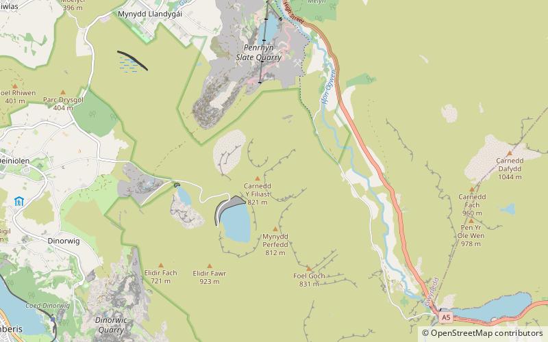
Y Fronllwyd, also known as Carnedd y Filiast North Top, is a top of Carnedd y Filiast in Snowdonia, Wales forming part of the Glyderau. It is the northern end of the Glyder mountain range. The summit has good views of Bethesda, the Penrhyn Quarry, the Carneddau, Elidir Fawr and the Menai Strait. The summit was included on the original Nuttall's list, subsequently deleted and then re-included after detailed re-surveying. ()
Elevation: 2362 ftProminence: 52 ftCoordinates: 53°8'42"N, 4°3'36"W
Address
Snowdonia National Park
ContactAdd
Social media
Add
Day trips
Y Fronllwyd – popular in the area (distance from the attraction)
Nearby attractions include: Elidir Fawr, Carnedd y Filiast, Mynydd Perfedd, Marchlyn Mawr.
Frequently Asked Questions (FAQ)
Which popular attractions are close to Y Fronllwyd?
Nearby attractions include Carnedd y Filiast, Snowdonia National Park (5 min walk), Mynydd Perfedd, Snowdonia National Park (12 min walk), Marchlyn Mawr, Snowdonia National Park (18 min walk), Nant Ffrancon Pass, Snowdonia National Park (21 min walk).


