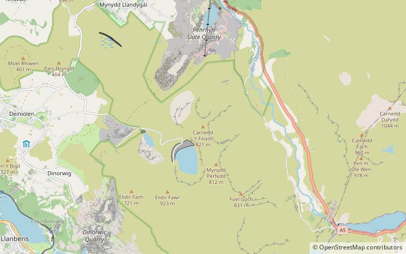
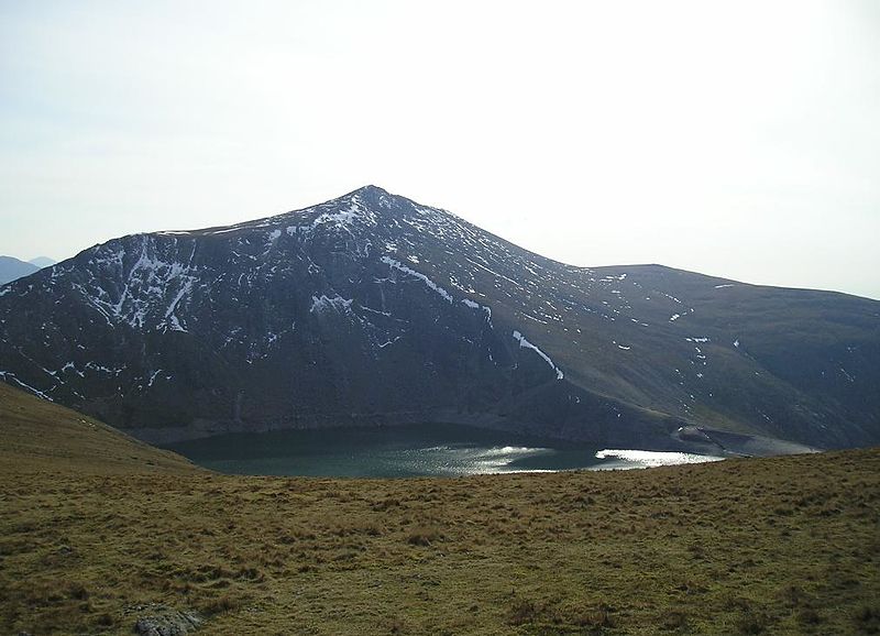
Carnedd y Filiast, Snowdonia National Park

Gallery (2)
Map
Map
Gallery
Facts and practical information
Carnedd y Filiast is a mountain in Snowdonia, Wales, forming part of the Glyderau. It, along with its top Y Fronllwyd, forms the most northerly summit in the Glyderau. The average annual temperature on Carnedd y Filiast is estimated to be around 4 Celsius. ()
Elevation: 2694 ftProminence: 249 ftCoordinates: 53°8'38"N, 4°3'51"W
Address
Snowdonia National Park
ContactAdd
Social media
Add
Day trips


Frequently Asked Questions (FAQ)
Which popular attractions are close to Carnedd y Filiast?
Nearby attractions include Y Fronllwyd, Snowdonia National Park (5 min walk), Mynydd Perfedd, Snowdonia National Park (12 min walk), Marchlyn Mawr, Snowdonia National Park (14 min walk).