Buarth-y-Gaer, Afan Forest Park
Map

Map

Facts and practical information
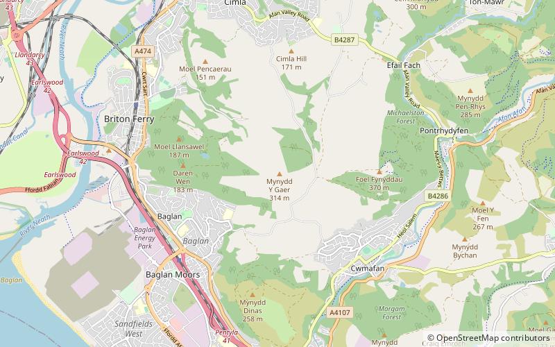
Buarth-y-Gaer is an Iron Age hillfort or enclosure on the summit of Mynydd-y-Gaer, 300 m above sea level. It is in Briton Ferry community, near Neath, in Neath Port Talbot, South Wales. A large hilltop enclosure is bounded by a single bank and ditch. Within the enclosed area is a Bronze Age burial mound. ()
Coordinates: 51°37'39"N, 3°47'6"W
Address
Afan Forest Park
ContactAdd
Social media
Add
Day trips
Buarth-y-Gaer – popular in the area (distance from the attraction)
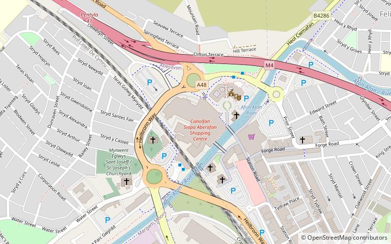
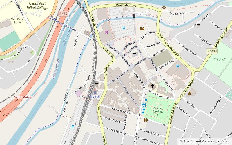
Nearby attractions include: Aberafan Shopping Centre, Baked Bean Museum of Excellence, Neath Town Hall, Neath Castle.
Frequently Asked Questions (FAQ)
Which popular attractions are close to Buarth-y-Gaer?
Nearby attractions include Mynydd-y-Gaer, Afan Forest Park (1 min walk), Craig Ty-Isaf, Afan Forest Park (15 min walk).


