Helm Crag, Grasmere
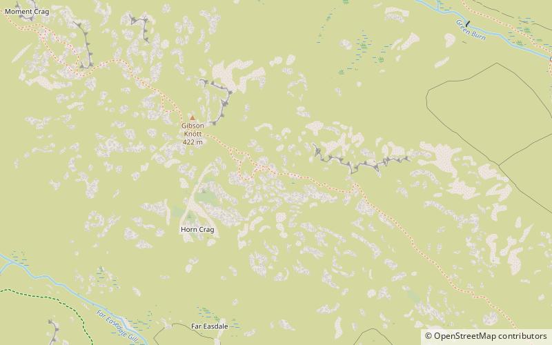
Map

Gallery

Facts and practical information
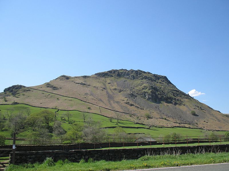
Helm Crag is a fell in the English Lake District situated in the Central Fells to the north of Grasmere. Despite its low height it sits prominently at the end of a ridge, easily seen from the village. This, combined with the distinctive summit rocks which provide the alternative name 'The Lion and the Lamb', makes it one of the most recognised hills in the District. ()
Elevation: 1329 ftProminence: 197 ftCoordinates: 54°28'30"N, 3°2'27"W
Address
Grasmere
ContactAdd
Social media
Add
Day trips
Helm Crag – popular in the area (distance from the attraction)
Nearby attractions include: St Oswald's Church, Easedale Tarn, Allan Bank, Gibson Knott.
Frequently Asked Questions (FAQ)
How to get to Helm Crag by public transport?
The nearest stations to Helm Crag:
Bus
Bus
- Town Head layby • Lines: 555 (15 min walk)
- Winterseeds • Lines: 555 (19 min walk)


