Easedale Tarn, Grasmere
Map

Map

Facts and practical information
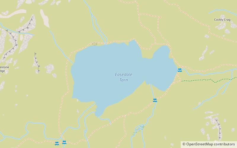
Easedale Tarn is a tarn in the centre of the English Lake District, about two miles west of the village of Grasmere. It lies in a hollow between Tarn Crag to the north and Blea Rigg to the south, about 910 feet or 280 metres above sea level. The hollow was formed by a small corrie glacier, and is believed to have filled with water around 11,000 years ago when the ice finished melting. ()
Length: 1575 ftWidth: 984 ftElevation: 925 ft a.s.l.Coordinates: 54°28'10"N, 3°4'11"W
Address
Grasmere
ContactAdd
Social media
Add
Day trips
Easedale Tarn – popular in the area (distance from the attraction)
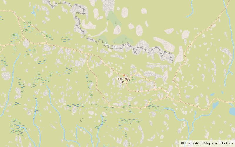
Nearby attractions include: Blea Rigg, Helm Crag, Calf Crag, Tarn Crag.
Frequently Asked Questions (FAQ)
Which popular attractions are close to Easedale Tarn?
Nearby attractions include Tarn Crag, Grasmere (10 min walk), Blea Rigg, Elterwater (19 min walk).


