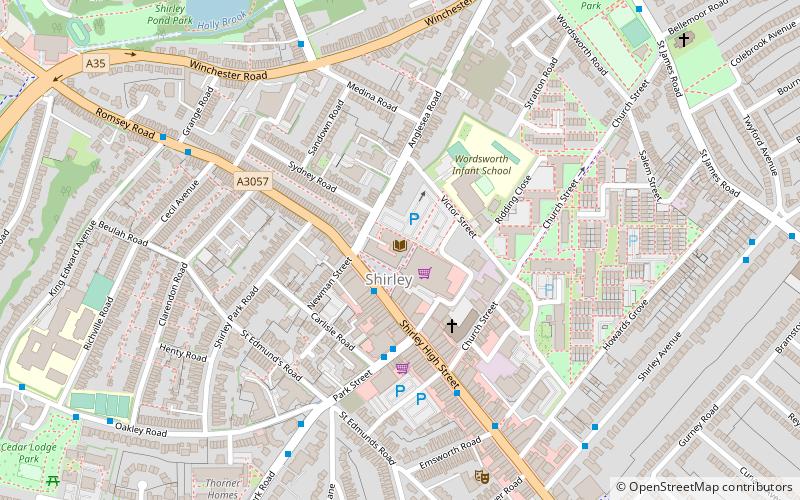
Shirley, Southampton
Map

Map

Facts and practical information
Shirley is a broad district and a former village on the western side of Southampton, England. Shirley's main roles are retailing and residential. It is the most important suburban shopping area in the west of the city. Housing is a mixture of council houses in the centre of the district surrounded by private housing, with larger suburban houses concentrated in Upper Shirley. Shirley is separated from Highfield by Southampton Common, a large green public space. ()
Coordinates: 50°55'26"N, 1°26'4"W
Day trips
Shirley – popular in the area (distance from the attraction)
Nearby attractions include: The Marlands, SeaCity Museum, Southampton Old Cemetery, Southampton Common.
Frequently Asked Questions (FAQ)
Which popular attractions are close to Shirley?
Nearby attractions include Shirley Baptist Church, Southampton (3 min walk), St James Park, Southampton (8 min walk), Shirley Parish Church, Southampton (9 min walk), Maybush, Southampton (22 min walk).
How to get to Shirley by public transport?
The nearest stations to Shirley:
Bus
Train
Bus
- St James Park • Lines: U9 (9 min walk)
- Shirley Avenue • Lines: U9 (10 min walk)
Train
- Millbrook (22 min walk)
- Southampton Central (37 min walk)


