Black Boys Bridge, Newbury and Thatcham

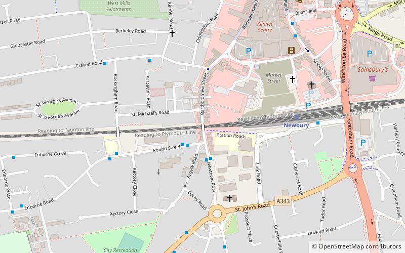
Map
Facts and practical information
The Black Boys Bridge is a road bridge in Newbury, Berkshire. At the western end of Newbury railway station, the bridge spans the Reading to Taunton line. The bridge has been described as the "southern gateway to Newbury Town Centre". ()
Coordinates: 51°23'50"N, 1°19'36"W
Address
Newbury and Thatcham
ContactAdd
Social media
Add
Day trips
Black Boys Bridge – popular in the area (distance from the attraction)
Nearby attractions include: St Nicolas Church, Newbury Bridge, Victoria Park, Newbury Town Hall.
Frequently Asked Questions (FAQ)
Which popular attractions are close to Black Boys Bridge?
Nearby attractions include St John the Evangelist Church, Newbury and Thatcham (4 min walk), St Nicolas Church, Newbury and Thatcham (7 min walk), Corn Exchange, Newbury and Thatcham (8 min walk), Newbury Town Hall, Newbury and Thatcham (8 min walk).
How to get to Black Boys Bridge by public transport?
The nearest stations to Black Boys Bridge:
Train
Bus
Train
- Newbury (5 min walk)
- Newbury Racecourse (22 min walk)
Bus
- Old Newbury Post Office • Lines: 1 (7 min walk)
- Newbury Bus Station (10 min walk)


